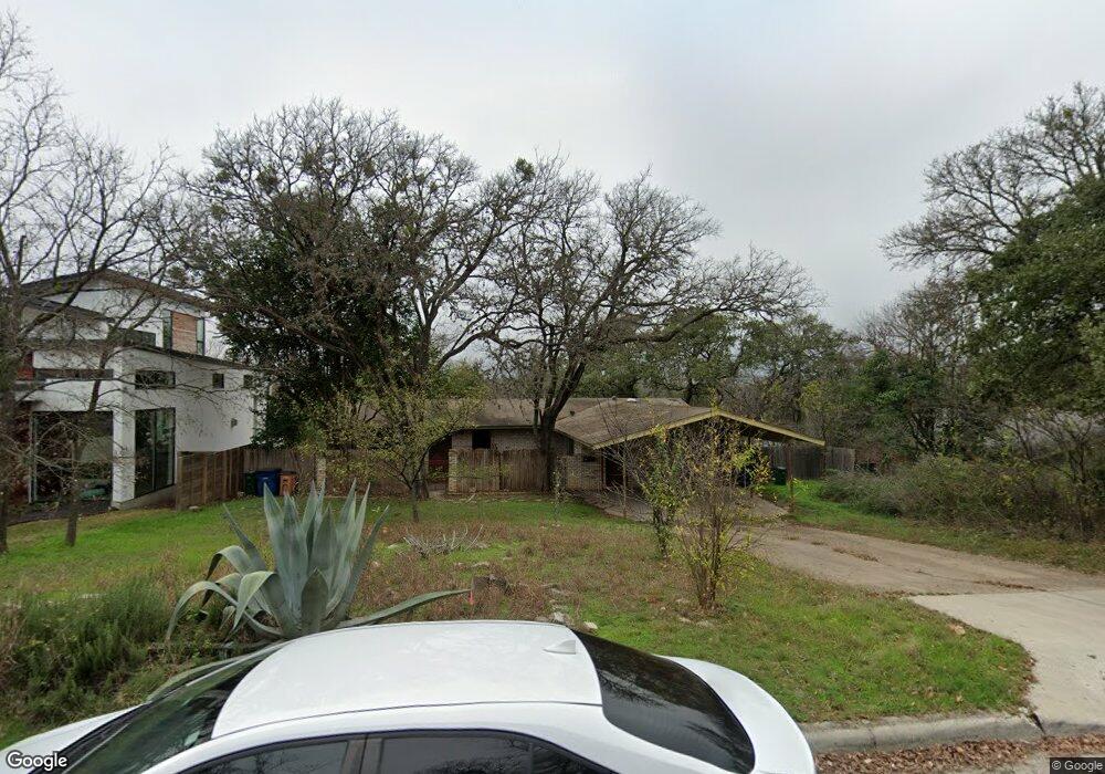
1902 Westridge Dr Unit A Austin, TX 78704
Barton Hills NeighborhoodEstimated Value: $956,168 - $1,011,000
2
Beds
1
Bath
1,598
Sq Ft
$616/Sq Ft
Est. Value
About This Home
This home is located at 1902 Westridge Dr Unit A, Austin, TX 78704 and is currently estimated at $983,584, approximately $615 per square foot. 1902 Westridge Dr Unit A is a home located in Travis County with nearby schools including Barton Hills Elementary School, Austin High School, and St. Ignatius Martyr School.
Ownership History
Date
Name
Owned For
Owner Type
Purchase Details
Closed on
Jan 23, 2025
Sold by
Trident Real Estate Holdings Llc
Bought by
Ajf Legacy Trust and Friedman
Current Estimated Value
Purchase Details
Closed on
Jul 29, 2024
Sold by
Hudson Annette and Henley Annette
Bought by
Placekeeper Ii Inc
Purchase Details
Closed on
Feb 15, 2023
Sold by
Hudson Annette
Bought by
Henley Annette
Create a Home Valuation Report for This Property
The Home Valuation Report is an in-depth analysis detailing your home's value as well as a comparison with similar homes in the area
Home Values in the Area
Average Home Value in this Area
Purchase History
| Date | Buyer | Sale Price | Title Company |
|---|---|---|---|
| Ajf Legacy Trust | -- | Chicago Title | |
| Trident Real Estate Holdings Llc | -- | Chicago Title | |
| Placekeeper Ii Inc | -- | None Listed On Document | |
| Henley Annette | -- | None Listed On Document |
Source: Public Records
Mortgage History
| Date | Status | Borrower | Loan Amount |
|---|---|---|---|
| Previous Owner | Hudson Annette C | $257,500 | |
| Closed | Placekeeper Ii Inc | $0 |
Source: Public Records
Tax History Compared to Growth
Tax History
| Year | Tax Paid | Tax Assessment Tax Assessment Total Assessment is a certain percentage of the fair market value that is determined by local assessors to be the total taxable value of land and additions on the property. | Land | Improvement |
|---|---|---|---|---|
| 2023 | $26,451 | $1,555,282 | $1,306,250 | $249,032 |
| 2022 | $31,199 | $1,579,757 | $1,306,250 | $273,507 |
| 2021 | $15,820 | $726,816 | $584,375 | $142,441 |
| 2020 | $11,732 | $547,000 | $525,938 | $21,062 |
| 2018 | $11,936 | $539,100 | $525,938 | $13,162 |
| 2017 | $11,883 | $532,814 | $495,000 | $37,814 |
| 2016 | $12,401 | $556,072 | $495,000 | $61,072 |
| 2015 | $8,979 | $428,463 | $320,625 | $107,838 |
| 2014 | $8,979 | $377,293 | $285,769 | $91,524 |
Source: Public Records
Map
Nearby Homes
- 2509 Ridgeview Dr
- 2004 Westridge Dr
- 2512 Ridgeview St
- 2411 Wilke Dr
- 1901 Cresthaven Dr
- 2409 Wilke Dr
- 2500 Deerfoot Trail
- 2502 Barhill Dr
- 1700 Barton Hills Dr
- 2109 Barton Hills Dr
- 1805 Brookhaven Dr
- 2106 Homedale Dr
- 2200 Homedale Dr Unit A
- 2504 Briargrove Dr
- 2024 Ford St
- 2119 Rabb Rd
- 1703 Graywood Cove
- 2502 Spring Creek Dr
- 2400 Rockingham Cir
- 1701 Bartoncliff Dr
- 1904 Westridge Dr Unit A
- 1904 Westridge Dr Unit B
- 1904 Westridge Dr
- 1900 Westridge Dr
- 1903 Barton Pkwy
- 1905 Barton Pkwy
- 1901 Westridge Dr
- 1906 Westridge Dr
- 1907 Barton Pkwy
- 1808 Westridge Dr
- 1903 Westridge Dr
- 1901 Barton Pkwy
- 1807 Westridge Dr
- 1909 Barton Pkwy
- 1809 Barton Pkwy
- 1908 Westridge Dr
- 1806 Westridge Dr
- 1905 Westridge Dr Unit A
- 1905 Westridge Dr Unit B
- 1905 Westridge Dr