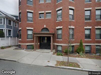
20 Linden Place Brookline, MA 02445
Brookline Village NeighborhoodEstimated Value: $1,712,000 - $1,998,951
3
Beds
4
Baths
2,067
Sq Ft
$925/Sq Ft
Est. Value
About This Home
This home is located at 20 Linden Place, Brookline, MA 02445 and is currently estimated at $1,911,738, approximately $924 per square foot. 20 Linden Place is a home located in Norfolk County with nearby schools including Pierce School, Brookline High School, and St. Mary of the Assumption Elementary School.
Ownership History
Date
Name
Owned For
Owner Type
Purchase Details
Closed on
Aug 23, 2022
Sold by
Bednarz Alana
Bought by
20 Linden Place Llc
Current Estimated Value
Home Financials for this Owner
Home Financials are based on the most recent Mortgage that was taken out on this home.
Original Mortgage
$720,000
Outstanding Balance
$691,876
Interest Rate
5.09%
Mortgage Type
Purchase Money Mortgage
Estimated Equity
$1,153,058
Purchase Details
Closed on
Nov 20, 2015
Sold by
Melville Lois E
Bought by
Lois E Melville Ret
Create a Home Valuation Report for This Property
The Home Valuation Report is an in-depth analysis detailing your home's value as well as a comparison with similar homes in the area
Home Values in the Area
Average Home Value in this Area
Purchase History
| Date | Buyer | Sale Price | Title Company |
|---|---|---|---|
| 20 Linden Place Llc | -- | None Available | |
| Lois E Melville Ret | -- | -- |
Source: Public Records
Mortgage History
| Date | Status | Borrower | Loan Amount |
|---|---|---|---|
| Open | Bednarz Alana | $720,000 | |
| Previous Owner | Melville Richad M | $10,000 | |
| Previous Owner | Melville Richad M | $47,500 |
Source: Public Records
Tax History Compared to Growth
Tax History
| Year | Tax Paid | Tax Assessment Tax Assessment Total Assessment is a certain percentage of the fair market value that is determined by local assessors to be the total taxable value of land and additions on the property. | Land | Improvement |
|---|---|---|---|---|
| 2025 | $19,476 | $1,973,300 | $1,112,000 | $861,300 |
| 2024 | $11,892 | $1,217,200 | $1,069,100 | $148,100 |
| 2023 | $11,158 | $1,119,200 | $975,100 | $144,100 |
| 2022 | $10,862 | $1,065,900 | $928,600 | $137,300 |
| 2021 | $10,044 | $1,024,900 | $892,900 | $132,000 |
| 2020 | $8,898 | $941,600 | $811,800 | $129,800 |
| 2019 | $8,402 | $896,700 | $773,100 | $123,600 |
| 2018 | $7,258 | $767,200 | $643,700 | $123,500 |
| 2017 | $7,151 | $723,800 | $607,300 | $116,500 |
| 2016 | $7,053 | $676,900 | $568,000 | $108,900 |
| 2015 | $6,284 | $588,400 | $486,600 | $101,800 |
| 2014 | $6,464 | $567,500 | $442,400 | $125,100 |
Source: Public Records
Map
Nearby Homes
- 114 Brook St Unit 1
- 64 Aspinwall Ave Unit 1
- 58 Kent St Unit 305
- 58 Kent St Unit 304
- 58 Kent St Unit 402
- 58 Kent St Unit 401
- 64 Toxteth St
- 214 Aspinwall Ave Unit 2
- 206 Aspinwall Ave Unit 2
- 212 Aspinwall Ave Unit 1
- 12 Davis Ct Unit 2
- 152 Harvard St Unit 4
- 35 Waverly St Unit 35
- 79 Saint Paul St Unit 79
- 18-20 Cypress St
- 240 Aspinwall Ave
- 69 Walnut St Unit 6
- 69 Walnut St Unit 2
- 31 Harris St Unit 302
- 71 Harvard Ave