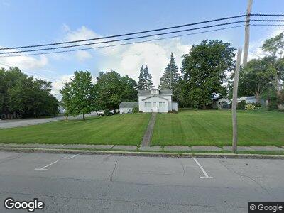
201 N Main St Antwerp, OH 45813
--
Bed
--
Bath
3,200
Sq Ft
3,049
Sq Ft Lot
About This Home
This home is located at 201 N Main St, Antwerp, OH 45813. 201 N Main St is a home located in Paulding County with nearby schools including Antwerp Local Elementary School and Antwerp Local High School.
Ownership History
Date
Name
Owned For
Owner Type
Purchase Details
Closed on
Dec 22, 2020
Sold by
Watson Diana L
Bought by
Cook Jeff A
Purchase Details
Closed on
Dec 15, 2020
Sold by
Oberlin Donald J and Oberlin Marsha
Bought by
Watson Diana L
Purchase Details
Closed on
Nov 22, 2020
Sold by
Haver Barry L and Haver Sharon
Bought by
Watson Diana L
Purchase Details
Closed on
Oct 17, 2019
Sold by
Watson Anthony W
Bought by
Watson Diana L
Purchase Details
Closed on
May 7, 2011
Sold by
Haver Realty
Bought by
Watson Anthony W and Watson Diana L
Home Financials for this Owner
Home Financials are based on the most recent Mortgage that was taken out on this home.
Original Mortgage
$598
Interest Rate
5%
Mortgage Type
Land Contract Argmt. Of Sale
Purchase Details
Closed on
Jan 1, 1990
Bought by
Haver Realty Company B Haver
Create a Home Valuation Report for This Property
The Home Valuation Report is an in-depth analysis detailing your home's value as well as a comparison with similar homes in the area
Home Values in the Area
Average Home Value in this Area
Purchase History
| Date | Buyer | Sale Price | Title Company |
|---|---|---|---|
| Cook Jeff A | $28,000 | None Available | |
| Watson Diana L | -- | None Available | |
| Watson Diana L | $52,000 | None Available | |
| Watson Diana L | -- | None Available | |
| Watson Anthony W | $52,000 | None Available | |
| Haver Realty Company B Haver | -- | -- |
Source: Public Records
Mortgage History
| Date | Status | Borrower | Loan Amount |
|---|---|---|---|
| Previous Owner | Watson Anthony W | $598 |
Source: Public Records
Tax History Compared to Growth
Tax History
| Year | Tax Paid | Tax Assessment Tax Assessment Total Assessment is a certain percentage of the fair market value that is determined by local assessors to be the total taxable value of land and additions on the property. | Land | Improvement |
|---|---|---|---|---|
| 2024 | $1,254 | $29,060 | $2,630 | $26,430 |
| 2023 | $1,254 | $12,220 | $2,630 | $9,590 |
| 2022 | $766 | $12,220 | $2,630 | $9,590 |
| 2021 | $741 | $10,360 | $1,750 | $8,610 |
| 2020 | $709 | $10,360 | $1,750 | $8,610 |
| 2019 | $721 | $10,360 | $1,750 | $8,610 |
| 2018 | $719 | $10,360 | $1,750 | $8,610 |
| 2017 | $718 | $10,360 | $1,750 | $8,610 |
| 2016 | $720 | $10,360 | $1,750 | $8,610 |
| 2015 | $714 | $10,330 | $1,750 | $8,580 |
| 2014 | $686 | $10,330 | $1,750 | $8,580 |
| 2013 | $710 | $10,330 | $1,750 | $8,580 |
Source: Public Records
Map
Nearby Homes
- 205 N Main St
- 206 W River St
- 208 W River St
- 403 W River St
- 607 Erie St
- 613 Erie St
- 13743 Road 27b
- 3613 Road 250a
- 3190 Road 204
- 12495 Road 51
- 26100 Worden Rd
- 16794 Road 87
- 4790 Carson Ct
- 4748 Carson Ct
- 23552 Harvest Ln
- 23518 Harvest Ln
- 23506 Harvest Ln
- 7214 State Route 500
- 10457 County Road 424
- 22708 Main St