2010 Frontier Trail Anderson, CA 96007
Riverside Avenue NeighborhoodEstimated payment $1,086/month
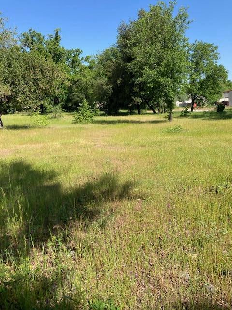
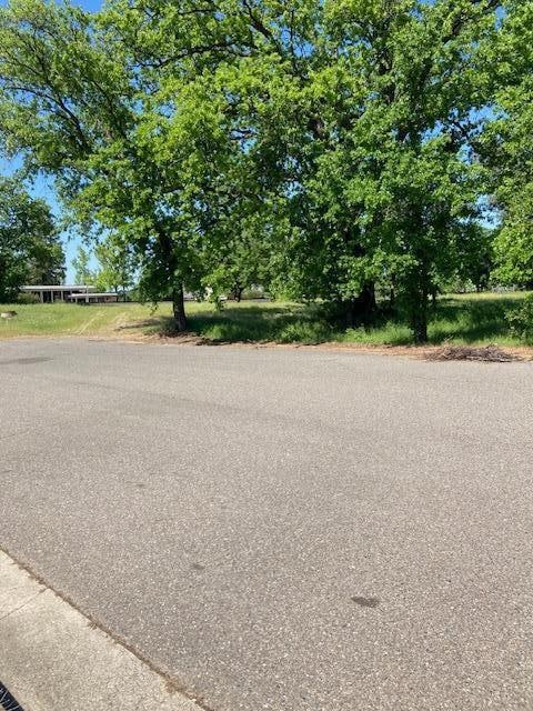
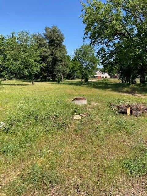
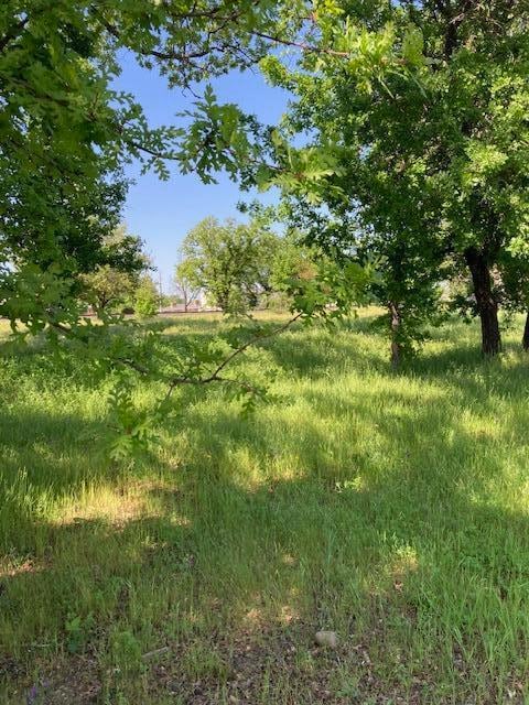
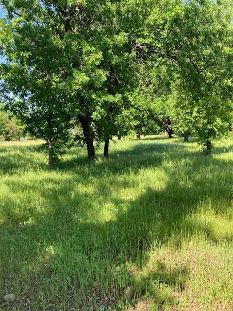
About This Lot
Nice lot at the end of Frontier Trail with good visibility from Hwy 273
water, sewer at front of property. PG&E along East boundary. Good access at the end of Frontier Trail. Lot has been surveyed by Duane K Miller. Many uses as per City of Anderson. Buyer to verify
Property Details
Property Type
- Land
Lot Details
- 0.92 Acre Lot
- Zoning described as AND - M-2 - Heavy Industrial
Listing and Financial Details
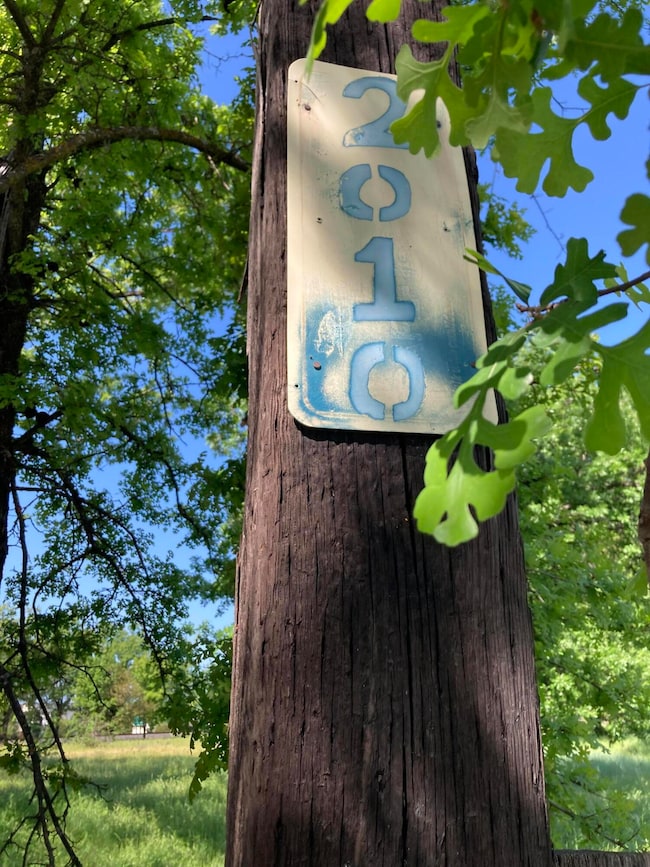
- Assessor Parcel Number 201 720 042
Map
Home Values in the Area
Average Home Value in this Area
Property History
| Date | Event | Price | Change | Sq Ft Price |
|---|---|---|---|---|
| 04/17/2025 04/17/25 | For Sale | $165,000 | -- | -- |
Source: Shasta Association of REALTORS®
MLS Number: 25-1637
Disclaimer: Certain information contained herein is derived from information provided by parties other than Homes.com. All information provided is deemed reliable, but is not guaranteed to be accurate and should be independently verified.
![]() IDX information is provided exclusively for personal, non-commercial use, and may not be used for any purpose other than to identify prospective properties consumers may be interested in purchasing. Information is deemed reliable but not guaranteed.
IDX information is provided exclusively for personal, non-commercial use, and may not be used for any purpose other than to identify prospective properties consumers may be interested in purchasing. Information is deemed reliable but not guaranteed.
- 3065 Silver St
- 3386 Lyndsey Ln
- 3420 W Center St
- 2896 East St
- 3383 Nathan Dr
- 1770 Brigman St
- 1761 Diamond St
- 1711 Shasta St
- 0 Balls Ferry Rd Unit 24-4844
- 1730 Ferry St
- 2251 South St
- 2750 Martha St
- 0 1st St
- 1535 Cordova St
- 3612 Rush Landing
- 2648 Tremonto Rd
- 1480 1st St
- 2609 Albert Rd
- 3241 Cory Ln
- 3554 Cazadero Dr
