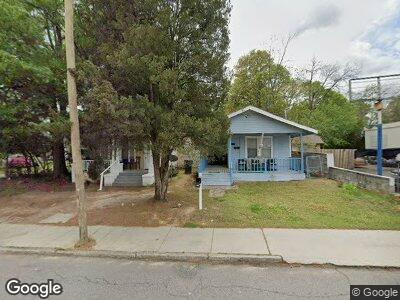
2058 Broad St Augusta, GA 30904
West End NeighborhoodEstimated Value: $139,794 - $169,000
2
Beds
1
Bath
930
Sq Ft
$166/Sq Ft
Est. Value
About This Home
This home is located at 2058 Broad St, Augusta, GA 30904 and is currently estimated at $154,397, approximately $166 per square foot. 2058 Broad St is a home located in Richmond County with nearby schools including Lamar Elementary School, W.S. Hornsby K-8 School, and Johnson Magnet.
Ownership History
Date
Name
Owned For
Owner Type
Purchase Details
Closed on
Oct 13, 2005
Sold by
Deutsche Bank National Trust Co
Bought by
Powell Jimmie L
Current Estimated Value
Purchase Details
Closed on
May 4, 2005
Sold by
Kipfer Sean
Bought by
Deutsche Bank National Trust Co and Ameriquest Mortgage Securities Inc Asset
Purchase Details
Closed on
Dec 2, 2003
Sold by
Millar Douglas M and Cawley Donald E
Bought by
Kipfer Sean
Home Financials for this Owner
Home Financials are based on the most recent Mortgage that was taken out on this home.
Original Mortgage
$53,910
Interest Rate
6.85%
Mortgage Type
Purchase Money Mortgage
Purchase Details
Closed on
Feb 1, 1988
Sold by
Blevins Keith S
Bought by
Millar Ii Douglas M
Create a Home Valuation Report for This Property
The Home Valuation Report is an in-depth analysis detailing your home's value as well as a comparison with similar homes in the area
Home Values in the Area
Average Home Value in this Area
Purchase History
| Date | Buyer | Sale Price | Title Company |
|---|---|---|---|
| Powell Jimmie L | $20,000 | -- | |
| Deutsche Bank National Trust Co | $40,500 | -- | |
| Kipfer Sean | $59,900 | -- | |
| Millar Ii Douglas M | $40,200 | -- |
Source: Public Records
Mortgage History
| Date | Status | Borrower | Loan Amount |
|---|---|---|---|
| Closed | Powell Jimmie L | $33,637 | |
| Previous Owner | Kipfer Sean | $53,910 |
Source: Public Records
Tax History Compared to Growth
Tax History
| Year | Tax Paid | Tax Assessment Tax Assessment Total Assessment is a certain percentage of the fair market value that is determined by local assessors to be the total taxable value of land and additions on the property. | Land | Improvement |
|---|---|---|---|---|
| 2024 | $1,317 | $30,817 | $3,456 | $27,361 |
| 2023 | $1,317 | $27,848 | $3,456 | $24,392 |
| 2022 | $953 | $17,513 | $3,456 | $14,057 |
| 2021 | $1,006 | $17,526 | $3,456 | $14,070 |
| 2020 | $997 | $17,526 | $3,456 | $14,070 |
| 2019 | $1,038 | $17,526 | $3,456 | $14,070 |
| 2018 | $1,023 | $16,941 | $3,456 | $13,485 |
| 2017 | $912 | $16,941 | $3,456 | $13,485 |
| 2016 | $913 | $16,941 | $3,456 | $13,485 |
| 2015 | $917 | $16,941 | $3,456 | $13,485 |
| 2014 | $918 | $16,941 | $3,456 | $13,485 |
Source: Public Records
Map
Nearby Homes
- 2048 Broad St
- 2155 Ellis St
- 2180 Ellis St
- 1978 Greene St
- 1918 Division St Unit 3
- 1931 Telfair St
- 1961 Battle Row
- 1922 Telfair St
- 2103 Mill View St
- 1946 Battle Row
- 1968 Battle Row
- 1962 Battle Row
- 1916 Battle Row
- 2028 Battle Row
- 501 Milledge Rd Unit 3D
- 608 Eve St
- 1831 Ellis St
- 605 Eve St
- 411 Brookside Dr
- 1858 Walker St