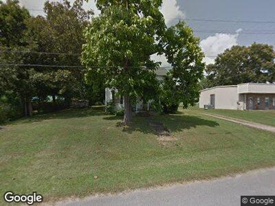
211 Broad St Loretto, TN 38469
Estimated Value: $147,000 - $215,000
--
Bed
2
Baths
1,760
Sq Ft
$97/Sq Ft
Est. Value
About This Home
This home is located at 211 Broad St, Loretto, TN 38469 and is currently estimated at $170,386, approximately $96 per square foot. 211 Broad St is a home located in Lawrence County with nearby schools including South Lawrence Elementary School, Lawrenceburg Public Elementary School, and Ingram Sowell Elementary School.
Ownership History
Date
Name
Owned For
Owner Type
Purchase Details
Closed on
May 14, 2021
Sold by
Walters Malcolm and Walters Timothy
Bought by
Tank Timothy Allen
Current Estimated Value
Home Financials for this Owner
Home Financials are based on the most recent Mortgage that was taken out on this home.
Original Mortgage
$86,955
Outstanding Balance
$79,800
Interest Rate
3.1%
Mortgage Type
VA
Estimated Equity
$83,653
Purchase Details
Closed on
Sep 18, 2020
Sold by
Fowler Pamela Faye
Bought by
Walters Malcolm and Walters Timothy
Purchase Details
Closed on
Jun 23, 2020
Sold by
Fowler Pamela Faye and Estate Of Faye P Parr
Bought by
Fowler Pamela Faye
Purchase Details
Closed on
Jan 23, 1980
Bought by
Parr Faye
Purchase Details
Closed on
Jan 1, 1980
Create a Home Valuation Report for This Property
The Home Valuation Report is an in-depth analysis detailing your home's value as well as a comparison with similar homes in the area
Home Values in the Area
Average Home Value in this Area
Purchase History
| Date | Buyer | Sale Price | Title Company |
|---|---|---|---|
| Tank Timothy Allen | $85,000 | None Available | |
| Walters Malcolm | -- | None Available | |
| Fowler Pamela Faye | -- | None Available | |
| Parr Faye | -- | -- | |
| -- | $15,000 | -- |
Source: Public Records
Mortgage History
| Date | Status | Borrower | Loan Amount |
|---|---|---|---|
| Open | Tank Timothy Allen | $86,955 |
Source: Public Records
Tax History Compared to Growth
Tax History
| Year | Tax Paid | Tax Assessment Tax Assessment Total Assessment is a certain percentage of the fair market value that is determined by local assessors to be the total taxable value of land and additions on the property. | Land | Improvement |
|---|---|---|---|---|
| 2024 | $584 | $24,950 | $1,500 | $23,450 |
| 2023 | $584 | $24,950 | $1,500 | $23,450 |
| 2022 | $584 | $24,950 | $1,500 | $23,450 |
| 2021 | $418 | $12,450 | $1,500 | $10,950 |
| 2020 | $418 | $12,450 | $1,500 | $10,950 |
| 2019 | $418 | $12,450 | $1,500 | $10,950 |
| 2018 | $412 | $12,450 | $1,500 | $10,950 |
| 2017 | $399 | $12,450 | $1,500 | $10,950 |
| 2016 | $399 | $12,450 | $1,500 | $10,950 |
| 2015 | $365 | $12,450 | $1,500 | $10,950 |
| 2014 | $308 | $10,500 | $1,500 | $9,000 |
Source: Public Records
Map
Nearby Homes
- 110 W Commerce St
- 402 W Commerce St
- 219 Vine Cir
- 116 Horn Ave
- 202 N Military St
- 118 Beartown Rd
- 136 Kimberly Dr
- 505 2nd Ave S
- 400 N Military St
- 402 E Main St
- 10 Henkle Dr
- 0 Henkle Rd Unit RTC2592696
- 0 Henkle Rd Unit RTC2592694
- 0 Henkle Rd Unit RTC2452834
- 518 Littrell Rd
- 191 Rigling Rd
- 530 N Main St
- 0 Dixon Branch Rd
- 609 Clax Branch Rd
- 703 Brenda Ave