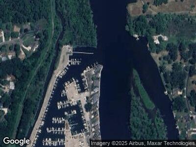
2135 Riverside Pointe Dr Unit 146 Saint Joseph, MI 49085
Estimated Value: $663,000 - $789,913
--
Bed
3
Baths
3,243
Sq Ft
$232/Sq Ft
Est. Value
About This Home
This home is located at 2135 Riverside Pointe Dr Unit 146, Saint Joseph, MI 49085 and is currently estimated at $751,228, approximately $231 per square foot. 2135 Riverside Pointe Dr Unit 146 is a home located in Berrien County with nearby schools including Upton Middle School, St. Joseph High School, and Great Lakes Montessori School.
Ownership History
Date
Name
Owned For
Owner Type
Purchase Details
Closed on
Jul 1, 2019
Sold by
Bergum Mary E
Bought by
Beregum James D
Current Estimated Value
Purchase Details
Closed on
Feb 8, 2003
Sold by
Friedman Michael A and Friedman Mary Anne
Bought by
Bergum Paul S and Bergum Mary F
Purchase Details
Closed on
Jun 29, 2000
Purchase Details
Closed on
May 15, 2000
Create a Home Valuation Report for This Property
The Home Valuation Report is an in-depth analysis detailing your home's value as well as a comparison with similar homes in the area
Home Values in the Area
Average Home Value in this Area
Purchase History
| Date | Buyer | Sale Price | Title Company |
|---|---|---|---|
| Beregum James D | $125,000 | None Available | |
| Bergum Paul S | $193,000 | -- | |
| -- | $285,000 | -- | |
| -- | $250,000 | -- |
Source: Public Records
Mortgage History
| Date | Status | Borrower | Loan Amount |
|---|---|---|---|
| Open | Bergum James D | $88,000 | |
| Open | Bergum James D | $700,000 | |
| Closed | Bergum James D | $700,000 |
Source: Public Records
Tax History Compared to Growth
Tax History
| Year | Tax Paid | Tax Assessment Tax Assessment Total Assessment is a certain percentage of the fair market value that is determined by local assessors to be the total taxable value of land and additions on the property. | Land | Improvement |
|---|---|---|---|---|
| 2024 | $13,656 | $361,000 | $0 | $0 |
| 2023 | $13,007 | $344,600 | $0 | $0 |
| 2022 | $6,778 | $176,300 | $0 | $0 |
| 2021 | $5,686 | $113,600 | $47,000 | $66,600 |
| 2020 | $2,278 | $47,000 | $0 | $0 |
| 2019 | $2,202 | $47,000 | $47,000 | $0 |
| 2018 | $2,119 | $47,000 | $0 | $0 |
| 2017 | $2,083 | $47,000 | $0 | $0 |
| 2016 | $2,044 | $47,000 | $0 | $0 |
| 2015 | $2,023 | $47,000 | $0 | $0 |
| 2014 | $1,617 | $47,000 | $0 | $0 |
Source: Public Records
Map
Nearby Homes
- 944 Eagle Point Dr
- 924 Eagle Point Dr
- 2401 Bay Pointe Dr
- 2500 Bay Pointe Dr
- 1189 Lydia Dr
- 2510 Bay Pointe Dr
- V/L Niles Rd
- Parcel 2-B Niles Road M-63
- 761 River Park Blvd
- 2721 Thayer Dr
- 912 Botham Ave
- 2701 Willa Dr
- 911 Botham Ave
- 399 Brownway
- 2593 Hillview Ln
- 346 Hoover Ave
- 326 Jakway Ave
- 2610 Niles Ave
- 884 Oakridge Dr
- 1874 Lombard St
