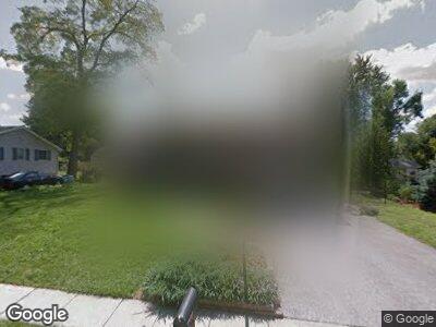
221 White Ave King of Prussia, PA 19406
Estimated Value: $525,301 - $580,000
4
Beds
3
Baths
2,472
Sq Ft
$221/Sq Ft
Est. Value
About This Home
This home is located at 221 White Ave, King of Prussia, PA 19406 and is currently estimated at $546,825, approximately $221 per square foot. 221 White Ave is a home located in Montgomery County with nearby schools including Roberts Elementary School, Upper Merion Middle School, and Upper Merion High School.
Ownership History
Date
Name
Owned For
Owner Type
Purchase Details
Closed on
Sep 5, 1997
Sold by
Aldworth Joan P and Koye Lori Aldworth
Bought by
Aldworth Joan P and Koye Lori Aldworth
Current Estimated Value
Purchase Details
Closed on
Jul 10, 1997
Sold by
Aldworth Joan P and Koye Lori Aldworth
Bought by
Aldworth Joan P and Koye Lori Aldworth
Purchase Details
Closed on
Aug 9, 1995
Sold by
Aldworth Joan P
Bought by
Aldworth Joan P and Aldworth Lori Anne
Create a Home Valuation Report for This Property
The Home Valuation Report is an in-depth analysis detailing your home's value as well as a comparison with similar homes in the area
Home Values in the Area
Average Home Value in this Area
Purchase History
| Date | Buyer | Sale Price | Title Company |
|---|---|---|---|
| Aldworth Joan P | -- | -- | |
| Aldworth Joan P | -- | -- | |
| Aldworth Joan P | -- | -- |
Source: Public Records
Mortgage History
| Date | Status | Borrower | Loan Amount |
|---|---|---|---|
| Closed | Koye Joseph Paul | $296,000 | |
| Closed | Aldworth Joan P | $75,000 | |
| Closed | Koye Lori Aldworth | $100,000 | |
| Closed | Koye Lori Aldworth | $149,000 | |
| Closed | Koye Joseph P | $120,000 | |
| Closed | Aldworth Joan P | $0 |
Source: Public Records
Tax History Compared to Growth
Tax History
| Year | Tax Paid | Tax Assessment Tax Assessment Total Assessment is a certain percentage of the fair market value that is determined by local assessors to be the total taxable value of land and additions on the property. | Land | Improvement |
|---|---|---|---|---|
| 2024 | $4,975 | $161,420 | $48,830 | $112,590 |
| 2023 | $4,799 | $161,420 | $48,830 | $112,590 |
| 2022 | $4,593 | $161,420 | $48,830 | $112,590 |
| 2021 | $4,451 | $161,420 | $48,830 | $112,590 |
| 2020 | $4,253 | $161,420 | $48,830 | $112,590 |
| 2019 | $4,180 | $161,420 | $48,830 | $112,590 |
| 2018 | $4,181 | $161,420 | $48,830 | $112,590 |
| 2017 | $4,030 | $161,420 | $48,830 | $112,590 |
| 2016 | $3,968 | $161,420 | $48,830 | $112,590 |
| 2015 | $3,822 | $161,420 | $48,830 | $112,590 |
| 2014 | $3,822 | $161,420 | $48,830 | $112,590 |
Source: Public Records
Map
Nearby Homes
- 284 Lawndale Ave
- 438 Crooked Ln
- 0 Renaissance Blvd
- 358 Winding Way
- 515 Sturbridge Ct
- 211 Garfield Rd
- 590 B St
- 438 Hillside Rd
- 599 A St
- 624 Coates Ln
- 107 Mahogany Ln
- 604 Spruce Rd Unit 173
- 106 Mahogany Ln Unit 4
- 132 Mahogany Ln
- 807 Laurens Alley Unit 45
- 455 Hughes Rd
- 405 Glen Arbor Ct
- 704 Brewster Alley
- 28 7th St
- 717 Mill St
