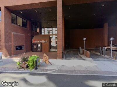
222 N Wall St Spokane, WA 99201
City Center Spokane Neighborhood
--
Bed
--
Bath
9,600
Sq Ft
0.37
Acres
About This Home
This home is located at 222 N Wall St, Spokane, WA 99201. 222 N Wall St is a home located in Spokane County with nearby schools including Roosevelt Elementary School, Sacajawea Middle School, and Lewis & Clark High School.
Ownership History
Date
Name
Owned For
Owner Type
Purchase Details
Closed on
Jul 31, 2015
Sold by
Pakahe Llc
Bought by
Wheatland Bank
Purchase Details
Closed on
Sep 22, 2014
Sold by
Heiskell J Douglas
Bought by
Pakahe Llc
Purchase Details
Closed on
Nov 18, 2011
Sold by
Estate Of Helen Jane Manning
Bought by
Jane Manning Testamentary Trust
Purchase Details
Closed on
Oct 12, 2009
Sold by
Heiskell J Douglas
Bought by
Manning Helen Jane
Create a Home Valuation Report for This Property
The Home Valuation Report is an in-depth analysis detailing your home's value as well as a comparison with similar homes in the area
Home Values in the Area
Average Home Value in this Area
Purchase History
| Date | Buyer | Sale Price | Title Company |
|---|---|---|---|
| Wheatland Bank | $78,325 | Fatco | |
| Pakahe Llc | -- | None Available | |
| Jane Manning Testamentary Trust | -- | None Available | |
| Manning Helen Jane | $176,065 | Inland Professional Title Ll |
Source: Public Records
Mortgage History
| Date | Status | Borrower | Loan Amount |
|---|---|---|---|
| Previous Owner | Jane Manning Testamentary Trust | $750,000 | |
| Previous Owner | Heiskell J Douglas | $1,260,500 | |
| Previous Owner | Heiskell J Douglas | $200,000 |
Source: Public Records
Tax History Compared to Growth
Tax History
| Year | Tax Paid | Tax Assessment Tax Assessment Total Assessment is a certain percentage of the fair market value that is determined by local assessors to be the total taxable value of land and additions on the property. | Land | Improvement |
|---|---|---|---|---|
| 2024 | $56,370 | $5,696,800 | $1,284,400 | $4,412,400 |
| 2023 | $51,533 | $5,922,800 | $1,284,400 | $4,638,400 |
| 2022 | $59,820 | $5,283,900 | $1,284,400 | $3,999,500 |
| 2021 | $59,822 | $5,045,530 | $1,204,130 | $3,841,400 |
| 2020 | $61,151 | $4,969,350 | $1,183,250 | $3,786,100 |
| 2019 | $57,714 | $4,838,400 | $1,038,100 | $3,800,300 |
| 2018 | $65,683 | $4,731,500 | $1,038,100 | $3,693,400 |
| 2017 | $60,150 | $4,412,810 | $1,007,110 | $3,405,700 |
| 2016 | $61,386 | $4,406,310 | $1,007,110 | $3,399,200 |
| 2015 | $62,053 | $4,358,010 | $1,007,110 | $3,350,900 |
| 2014 | -- | $4,254,110 | $1,007,110 | $3,247,000 |
| 2013 | -- | $0 | $0 | $0 |
Source: Public Records
Map
Nearby Homes
- 117 N Howard St
- 809 W Main Ave Unit 303
- 809 W Main Ave
- 809 W Main Ave Unit 304
- 315 W Riverside Ave Unit 302
- 820 N Post St
- 176 S Howard St
- 1016 W Railroad Ave Unit 304
- 1221 W Railroad Alley #9 Alley Unit 9
- 1418 W Wilson Ave
- 103 E Sprague Ave Unit 303
- 704 W 6th Ave Unit 607
- 726 W 6th Ave Unit 302
- 707 W 6th Ave Unit 44
- 707 W 6th Ave Unit 33
- 700 W 7th Unit 601 Ave Unit 601
- 214 W 6th Ave Unit 201
- 214 W 6th Ave Unit 106
- 620 W 7th Unit 402 Ave Unit 402
- 620 W 7th Ave Unit 207