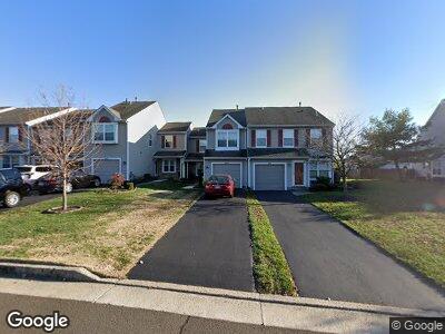
242 Sequoia Dr Newtown, PA 18940
Central Bucks County NeighborhoodEstimated Value: $403,925 - $524,000
2
Beds
3
Baths
1,506
Sq Ft
$301/Sq Ft
Est. Value
About This Home
This home is located at 242 Sequoia Dr, Newtown, PA 18940 and is currently estimated at $453,981, approximately $301 per square foot. 242 Sequoia Dr is a home located in Bucks County with nearby schools including Newtown Elementary School, Newtown Middle School, and Council Rock High School North.
Ownership History
Date
Name
Owned For
Owner Type
Purchase Details
Closed on
Aug 4, 2020
Sold by
Goldstein Charles A
Bought by
Kucowski Brian and Kucowski Julia
Current Estimated Value
Purchase Details
Closed on
Jul 26, 2001
Sold by
Yoder Courtney R
Bought by
Goldstein Charles A
Home Financials for this Owner
Home Financials are based on the most recent Mortgage that was taken out on this home.
Original Mortgage
$126,400
Interest Rate
7.14%
Purchase Details
Closed on
Apr 28, 2000
Sold by
Gattone Angelo
Bought by
Yoder Courtney R
Home Financials for this Owner
Home Financials are based on the most recent Mortgage that was taken out on this home.
Original Mortgage
$127,200
Interest Rate
8.21%
Create a Home Valuation Report for This Property
The Home Valuation Report is an in-depth analysis detailing your home's value as well as a comparison with similar homes in the area
Home Values in the Area
Average Home Value in this Area
Purchase History
| Date | Buyer | Sale Price | Title Company |
|---|---|---|---|
| Kucowski Brian | $110,000 | Tohickon Settlement Svcs Inc | |
| Goldstein Charles A | $158,000 | -- | |
| Yoder Courtney R | $135,000 | -- |
Source: Public Records
Mortgage History
| Date | Status | Borrower | Loan Amount |
|---|---|---|---|
| Previous Owner | Goldstein Charles A | $73,017 | |
| Previous Owner | Goldstein Charles A | $115,292 | |
| Previous Owner | Goldstein Charles A | $100,000 | |
| Previous Owner | Goldstein Charles A | $123,667 | |
| Previous Owner | Goldstein Charles A | $126,400 | |
| Previous Owner | Yoder Courtney R | $127,200 |
Source: Public Records
Tax History Compared to Growth
Tax History
| Year | Tax Paid | Tax Assessment Tax Assessment Total Assessment is a certain percentage of the fair market value that is determined by local assessors to be the total taxable value of land and additions on the property. | Land | Improvement |
|---|---|---|---|---|
| 2024 | $4,578 | $25,760 | $2,560 | $23,200 |
| 2023 | $4,380 | $25,760 | $2,560 | $23,200 |
| 2022 | $4,295 | $25,760 | $2,560 | $23,200 |
| 2021 | $4,229 | $25,760 | $2,560 | $23,200 |
| 2020 | $4,025 | $25,760 | $2,560 | $23,200 |
| 2019 | $3,930 | $25,760 | $2,560 | $23,200 |
| 2018 | $3,855 | $25,760 | $2,560 | $23,200 |
| 2017 | $3,722 | $25,760 | $2,560 | $23,200 |
| 2016 | $3,696 | $25,760 | $2,560 | $23,200 |
| 2015 | -- | $25,760 | $2,560 | $23,200 |
| 2014 | -- | $25,760 | $2,560 | $23,200 |
Source: Public Records
Map
Nearby Homes
- 21 Ebony Ct
- 45 Cypress Place
- 33 Sparrow Walk
- 34 Sparrow Walk
- 11 Crabapple Place
- 404 Mahogany Walk
- Lot 1 Linton Hill Rd
- 87 Rittenhouse Cir Unit 89
- 11 Locust Ln
- 4 Juniper Ct
- 28 Eagleton Farm Rd
- 220 Stoopville Rd
- Lot 4 Ava Ct
- 1406 Wrightstown Rd
- 152 Twining Bridge Rd
- 7 Buckman Dr
- 1500 Wrightstown Rd
- 35 Declaration Dr
- 1008 Eagle Rd
- 158 Colonial Dr