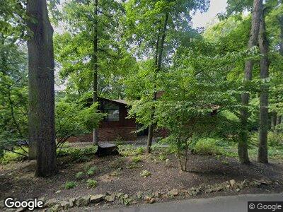
267 Bierys Bridge Rd Bethlehem, PA 18017
Northeast Bethlehem NeighborhoodEstimated Value: $528,000 - $699,000
3
Beds
3
Baths
2,457
Sq Ft
$249/Sq Ft
Est. Value
About This Home
This home is located at 267 Bierys Bridge Rd, Bethlehem, PA 18017 and is currently estimated at $610,767, approximately $248 per square foot. 267 Bierys Bridge Rd is a home located in Northampton County with nearby schools including Spring Garden Elementary School, East Hills Middle School, and Freedom High School.
Ownership History
Date
Name
Owned For
Owner Type
Purchase Details
Closed on
Jan 19, 2011
Sold by
Lemmon Raymond A and Lemmon Margaret T
Bought by
Gruver Roy A
Current Estimated Value
Home Financials for this Owner
Home Financials are based on the most recent Mortgage that was taken out on this home.
Original Mortgage
$303,920
Interest Rate
4.62%
Mortgage Type
New Conventional
Purchase Details
Closed on
Jul 1, 1983
Bought by
Lemmon Raymond A and Lemmon Margaret T
Create a Home Valuation Report for This Property
The Home Valuation Report is an in-depth analysis detailing your home's value as well as a comparison with similar homes in the area
Home Values in the Area
Average Home Value in this Area
Purchase History
| Date | Buyer | Sale Price | Title Company |
|---|---|---|---|
| Gruver Roy A | $379,900 | None Available | |
| Lemmon Raymond A | $39,500 | -- |
Source: Public Records
Mortgage History
| Date | Status | Borrower | Loan Amount |
|---|---|---|---|
| Open | Gruver Roy A | $75,000 | |
| Open | Gruver Roy A | $281,412 | |
| Closed | Gruver Roy A | $303,920 | |
| Previous Owner | Lemmon Raymond A | $50,000 |
Source: Public Records
Tax History Compared to Growth
Tax History
| Year | Tax Paid | Tax Assessment Tax Assessment Total Assessment is a certain percentage of the fair market value that is determined by local assessors to be the total taxable value of land and additions on the property. | Land | Improvement |
|---|---|---|---|---|
| 2025 | $1,213 | $112,300 | $38,600 | $73,700 |
| 2024 | $9,926 | $112,300 | $38,600 | $73,700 |
| 2023 | $9,926 | $112,300 | $38,600 | $73,700 |
| 2022 | $9,849 | $112,300 | $38,600 | $73,700 |
| 2021 | $9,782 | $112,300 | $38,600 | $73,700 |
| 2020 | $9,689 | $112,300 | $38,600 | $73,700 |
| 2019 | $9,657 | $112,300 | $38,600 | $73,700 |
| 2018 | $9,422 | $112,300 | $38,600 | $73,700 |
| 2017 | $9,310 | $112,300 | $38,600 | $73,700 |
| 2016 | -- | $112,300 | $38,600 | $73,700 |
| 2015 | -- | $112,300 | $38,600 | $73,700 |
| 2014 | -- | $112,300 | $38,600 | $73,700 |
Source: Public Records
Map
Nearby Homes
- 267 Bierys Bridge Rd
- 5435 Hale Ave
- 3681 Township Line Rd
- 444 Kevin Dr
- 941 Powder Mill Rd
- 946 Merrivale Rd
- 132 Wedgewood Rd
- 4016 Maria Ln
- 1146 Granite Dr
- 2780 Saddlebrook Ln
- 1210 Bluestone Dr
- 4040 Maria Ln
- 1338 Santee Mill Rd
- 2600 Union Ct
- 1225 Brentwood Ave
- 1158 Lark Dr
- 1311 Stafore Dr
- 1179 Blair Rd
- 2670 West Blvd
- 1145 Sunset View Dr