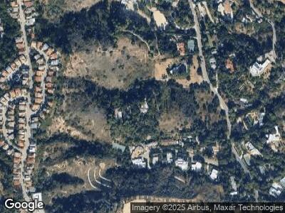
2707 Benedict Canyon Dr Beverly Hills, CA 90210
Beverly Crest NeighborhoodEstimated Value: $3,383,443 - $5,771,000
4
Beds
4
Baths
5,404
Sq Ft
$791/Sq Ft
Est. Value
About This Home
This home is located at 2707 Benedict Canyon Dr, Beverly Hills, CA 90210 and is currently estimated at $4,272,361, approximately $790 per square foot. 2707 Benedict Canyon Dr is a home located in Los Angeles County with nearby schools including Warner Avenue Elementary.
Ownership History
Date
Name
Owned For
Owner Type
Purchase Details
Closed on
Dec 1, 2021
Sold by
Smith Family Trust
Bought by
Ann-Margret Olsson Smith Survivors Trust
Current Estimated Value
Purchase Details
Closed on
Jul 26, 2017
Sold by
The Smith Family Trust
Bought by
Smith Ann Margret Olsson and Smith Ann Margret
Purchase Details
Closed on
Mar 3, 2014
Sold by
Smith Roger
Bought by
The Smith Family Trust
Purchase Details
Closed on
Jul 26, 1996
Sold by
Smith Roger
Bought by
Smith Roger and Smith Ann Margret
Home Financials for this Owner
Home Financials are based on the most recent Mortgage that was taken out on this home.
Original Mortgage
$3,637,000
Interest Rate
7.75%
Purchase Details
Closed on
Feb 10, 1993
Sold by
Gsr
Bought by
Gottlieb Daniel M and Smith Ira Ann Margret
Create a Home Valuation Report for This Property
The Home Valuation Report is an in-depth analysis detailing your home's value as well as a comparison with similar homes in the area
Home Values in the Area
Average Home Value in this Area
Purchase History
| Date | Buyer | Sale Price | Title Company |
|---|---|---|---|
| Ann-Margret Olsson Smith Survivors Trust | -- | Accommodation/Courtesy Recordi | |
| The Smith Family Trust | -- | None Available | |
| Smith Roger | -- | North American Title Co | |
| Gottlieb Daniel M | -- | -- |
Source: Public Records
Mortgage History
| Date | Status | Borrower | Loan Amount |
|---|---|---|---|
| Previous Owner | Smith Ann Marget | $1,243,700 | |
| Previous Owner | Smith Roger | $2,500,000 | |
| Previous Owner | Smith Roger | $2,800,000 | |
| Previous Owner | Smith Roger | $5,550,000 | |
| Previous Owner | Smith Roger | $5,000,000 | |
| Previous Owner | Smith Roger | $4,312,500 | |
| Previous Owner | Smith Roger | $112,500 | |
| Previous Owner | Smith Roger | $3,637,000 |
Source: Public Records
Tax History Compared to Growth
Tax History
| Year | Tax Paid | Tax Assessment Tax Assessment Total Assessment is a certain percentage of the fair market value that is determined by local assessors to be the total taxable value of land and additions on the property. | Land | Improvement |
|---|---|---|---|---|
| 2024 | $11,973 | $906,151 | $293,227 | $612,924 |
| 2023 | $11,765 | $888,384 | $287,478 | $600,906 |
| 2022 | $11,286 | $870,966 | $281,842 | $589,124 |
| 2021 | $11,122 | $853,889 | $276,316 | $577,573 |
| 2019 | $10,734 | $828,564 | $268,121 | $560,443 |
| 2018 | $10,394 | $812,318 | $262,864 | $549,454 |
| 2016 | $9,870 | $780,776 | $252,657 | $528,119 |
| 2015 | $9,731 | $769,049 | $248,862 | $520,187 |
| 2014 | $9,817 | $753,986 | $243,988 | $509,998 |
Source: Public Records
Map
Nearby Homes
- 9951 Liebe Dr
- 9924 Liebe Dr
- 2650 Benedict Canyon Dr
- 2828 Benedict Canyon Dr
- 2901 Benedict Canyon Dr
- 2627 Wallingford Dr
- 2611 Angelo Dr
- 2612 Wallingford Dr
- 2881 Woodwardia Dr
- 2571 Wallingford Dr
- 2518 Almaden Ct
- 2822 Royston Place
- 2807 Deep Canyon Dr
- 9818 Hythe Ct
- 10221 Briarwood Dr
- 2563 Hutton Dr
- 2547 Hutton Dr
- 2548 Angelo Dr
- 2601 Hutton Dr
- 2654 Basil Ln
