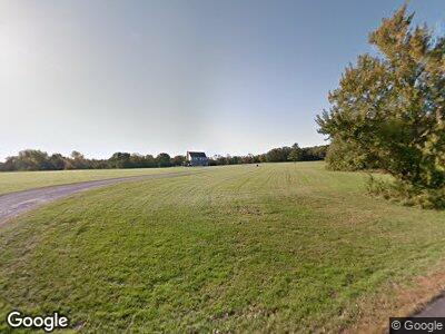
295 Harmony Hill Rd Harwinton, CT 06791
Estimated Value: $838,000 - $1,080,000
3
Beds
3
Baths
4,148
Sq Ft
$233/Sq Ft
Est. Value
About This Home
This home is located at 295 Harmony Hill Rd, Harwinton, CT 06791 and is currently estimated at $965,524, approximately $232 per square foot. 295 Harmony Hill Rd is a home located in Litchfield County with nearby schools including Harwinton Consolidated School, Har-Bur Middle School, and Lewis S. Mills High School.
Ownership History
Date
Name
Owned For
Owner Type
Purchase Details
Closed on
Jan 30, 2001
Sold by
Enns Brian S and Enns Tracy L
Bought by
Gagne Robert J
Current Estimated Value
Purchase Details
Closed on
May 14, 1998
Sold by
Klim William and Klim Anne H
Bought by
Enns Brian S and Enns Tracy L
Create a Home Valuation Report for This Property
The Home Valuation Report is an in-depth analysis detailing your home's value as well as a comparison with similar homes in the area
Home Values in the Area
Average Home Value in this Area
Purchase History
| Date | Buyer | Sale Price | Title Company |
|---|---|---|---|
| Gagne Robert J | $470,000 | -- | |
| Gagne Robert J | $470,000 | -- | |
| Enns Brian S | $150,000 | -- | |
| Enns Brian S | $150,000 | -- |
Source: Public Records
Mortgage History
| Date | Status | Borrower | Loan Amount |
|---|---|---|---|
| Open | Gagne Robert J | $200,000 | |
| Open | Gagne Robert G | $473,000 | |
| Closed | Enns Brian S | $395,000 | |
| Closed | Enns Brian S | $75,000 |
Source: Public Records
Tax History Compared to Growth
Tax History
| Year | Tax Paid | Tax Assessment Tax Assessment Total Assessment is a certain percentage of the fair market value that is determined by local assessors to be the total taxable value of land and additions on the property. | Land | Improvement |
|---|---|---|---|---|
| 2024 | $14,305 | $624,690 | $187,270 | $437,420 |
| 2023 | $12,582 | $430,880 | $140,310 | $290,570 |
| 2022 | $12,280 | $430,880 | $140,310 | $290,570 |
| 2021 | $12,366 | $430,880 | $140,310 | $290,570 |
| 2020 | $12,065 | $430,880 | $140,310 | $290,570 |
| 2019 | $12,065 | $430,880 | $140,310 | $290,570 |
| 2018 | $11,608 | $414,560 | $147,220 | $267,340 |
| 2017 | $11,525 | $414,560 | $147,220 | $267,340 |
| 2016 | $11,525 | $414,560 | $147,220 | $267,340 |
| 2015 | $11,317 | $414,560 | $147,220 | $267,340 |
| 2014 | $11,152 | $414,560 | $147,220 | $267,340 |
Source: Public Records
Map
Nearby Homes
- 0 North Rd
- 70 Ridgewood Dr
- 177 Lead Mine Brook Rd
- 519 E Cotton Hill Rd
- 92 Shafer Rd
- 164 Birge Park Rd
- 175 Ramstein Rd
- 503 E Cotton Hill Rd
- 0 Woodchuck Ln
- 125 Woodchuck Ln
- 301 Cotton Hill Rd
- 156 Bradford Rd
- 0 Brick Kiln Rd
- 550 County Rd
- 12 E Farms Rd Unit A
- 11 E Farms Rd Unit A
- 70 Belmont Dr
- 50 Windmill Rd
- 205 Longmeadow Dr
- 0 Davis Rd Unit 24053224
