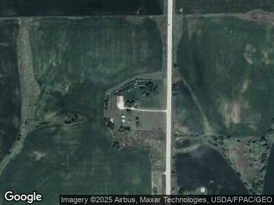
2965 Highway 25 Orient, IA 50858
Estimated Value: $201,000 - $309,000
--
Bed
--
Bath
2,098
Sq Ft
$117/Sq Ft
Est. Value
About This Home
This home is located at 2965 Highway 25, Orient, IA 50858 and is currently estimated at $246,122, approximately $117 per square foot. 2965 Highway 25 is a home with nearby schools including Orient Elementary School and Orient-Macksburg Senior High School.
Ownership History
Date
Name
Owned For
Owner Type
Purchase Details
Closed on
Apr 14, 2005
Sold by
Reis Lawrence E and Reis Virginia I
Bought by
Britten Daniel J and Britten Tina M
Current Estimated Value
Home Financials for this Owner
Home Financials are based on the most recent Mortgage that was taken out on this home.
Original Mortgage
$21,000
Interest Rate
6.06%
Mortgage Type
Stand Alone Second
Create a Home Valuation Report for This Property
The Home Valuation Report is an in-depth analysis detailing your home's value as well as a comparison with similar homes in the area
Home Values in the Area
Average Home Value in this Area
Purchase History
| Date | Buyer | Sale Price | Title Company |
|---|---|---|---|
| Britten Daniel J | $105,000 | None Available |
Source: Public Records
Mortgage History
| Date | Status | Borrower | Loan Amount |
|---|---|---|---|
| Closed | Britten Daniel J | $21,000 | |
| Open | Britten Daniel J | $84,000 |
Source: Public Records
Tax History Compared to Growth
Tax History
| Year | Tax Paid | Tax Assessment Tax Assessment Total Assessment is a certain percentage of the fair market value that is determined by local assessors to be the total taxable value of land and additions on the property. | Land | Improvement |
|---|---|---|---|---|
| 2024 | $1,796 | $193,280 | $51,680 | $141,600 |
| 2023 | $1,784 | $146,630 | $4,020 | $142,610 |
| 2022 | $1,724 | $120,710 | $3,140 | $117,570 |
| 2021 | $1,724 | $120,710 | $3,140 | $117,570 |
| 2020 | $1,312 | $98,420 | $2,980 | $95,440 |
| 2019 | $1,284 | $95,440 | $0 | $0 |
| 2018 | $1,230 | $96,499 | $0 | $0 |
| 2017 | $1,230 | $100,994 | $0 | $0 |
| 2016 | $1,422 | $101,232 | $9,234 | $91,998 |
| 2015 | $1,422 | $97,572 | $0 | $0 |
| 2014 | $1,306 | $97,572 | $0 | $0 |
Source: Public Records
Map
Nearby Homes