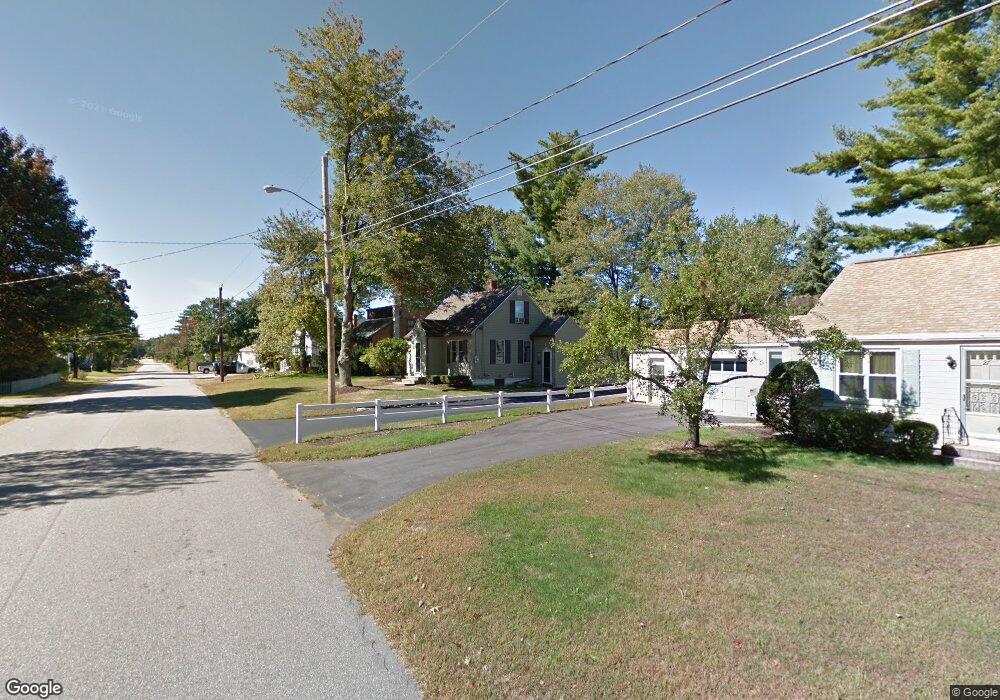
29A Harding St Rochester, NH 03867
Estimated Value: $361,241 - $399,000
3
Beds
2
Baths
1,125
Sq Ft
$335/Sq Ft
Est. Value
About This Home
This home is located at 29A Harding St, Rochester, NH 03867 and is currently estimated at $376,810, approximately $334 per square foot. 29A Harding St is a home located in Strafford County with nearby schools including William Allen School, Rochester Middle School, and Spaulding High School.
Ownership History
Date
Name
Owned For
Owner Type
Purchase Details
Closed on
Sep 24, 1980
Bought by
Tozier Thomas and Tozier Deborah
Current Estimated Value
Create a Home Valuation Report for This Property
The Home Valuation Report is an in-depth analysis detailing your home's value as well as a comparison with similar homes in the area
Home Values in the Area
Average Home Value in this Area
Purchase History
| Date | Buyer | Sale Price | Title Company |
|---|---|---|---|
| Tozier Thomas | $46,000 | -- |
Source: Public Records
Mortgage History
| Date | Status | Borrower | Loan Amount |
|---|---|---|---|
| Open | Tozier Thomas F | $316,800 | |
| Closed | Tozier Thomas F | $257,964 | |
| Closed | Tozier Thomas F | $209,054 | |
| Closed | Tozier Thomas F | $204,022 | |
| Closed | Tozier Thomas F | $200,000 | |
| Closed | Tozier Thomas F | $172,924 | |
| Closed | Tozier Thomas | $33,600 | |
| Closed | Tozier Thomas | $25,000 |
Source: Public Records
Tax History Compared to Growth
Tax History
| Year | Tax Paid | Tax Assessment Tax Assessment Total Assessment is a certain percentage of the fair market value that is determined by local assessors to be the total taxable value of land and additions on the property. | Land | Improvement |
|---|---|---|---|---|
| 2024 | $4,157 | $279,900 | $80,500 | $199,400 |
| 2023 | $4,695 | $182,400 | $67,700 | $114,700 |
| 2022 | $4,611 | $182,400 | $67,700 | $114,700 |
| 2021 | $4,496 | $182,400 | $67,700 | $114,700 |
| 2020 | $4,523 | $183,800 | $67,700 | $116,100 |
| 2019 | $4,577 | $183,800 | $67,700 | $116,100 |
| 2018 | $4,227 | $153,600 | $39,300 | $114,300 |
| 2017 | $4,044 | $153,600 | $39,300 | $114,300 |
| 2016 | $3,541 | $125,300 | $39,300 | $86,000 |
| 2015 | $3,527 | $125,300 | $39,300 | $86,000 |
| 2014 | $3,442 | $125,300 | $39,300 | $86,000 |
| 2013 | -- | $147,300 | $52,400 | $94,900 |
| 2012 | $3,783 | $147,300 | $52,400 | $94,900 |
Source: Public Records
Map
Nearby Homes
- 29 Harding St
- 31 Harding St
- 00 Preston St
- 50 Richardson St
- 30A Harding St
- 30 Harding St
- 30A Harding St Unit 134 000
- 30 Richardson St
- 52 Richardson St
- 32 Harding St
- 42 Richardson St
- 27 Harding St
- 31 Dodge St
- 29 Dodge St
- 26 Harding St
- 40 Richardson St
- 10 Preston St
- 5 Preston St
- 27 Dodge St
- 35 Richardson St