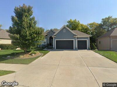
301 NE Viewpark Dr Lees Summit, MO 64086
Lee's Summit NeighborhoodEstimated Value: $470,000 - $582,000
4
Beds
4
Baths
1,610
Sq Ft
$322/Sq Ft
Est. Value
About This Home
This home is located at 301 NE Viewpark Dr, Lees Summit, MO 64086 and is currently estimated at $518,805, approximately $322 per square foot. 301 NE Viewpark Dr is a home located in Jackson County with nearby schools including Highland Park Elementary School, Bernard C. Campbell Middle School, and Lee's Summit North High School.
Ownership History
Date
Name
Owned For
Owner Type
Purchase Details
Closed on
Sep 14, 2006
Sold by
S & L Superior Enterprises Llc
Bought by
Smith Brian and Smith Jacqueline
Current Estimated Value
Home Financials for this Owner
Home Financials are based on the most recent Mortgage that was taken out on this home.
Original Mortgage
$215,000
Interest Rate
6.64%
Mortgage Type
Purchase Money Mortgage
Purchase Details
Closed on
Nov 16, 2005
Sold by
Wood Family Development Inc
Bought by
S & L Superior Enterprises Llc
Create a Home Valuation Report for This Property
The Home Valuation Report is an in-depth analysis detailing your home's value as well as a comparison with similar homes in the area
Home Values in the Area
Average Home Value in this Area
Purchase History
| Date | Buyer | Sale Price | Title Company |
|---|---|---|---|
| Smith Brian | -- | Coffelt Land Title Inc | |
| S & L Superior Enterprises Llc | -- | Coffelt Land Title Inc |
Source: Public Records
Mortgage History
| Date | Status | Borrower | Loan Amount |
|---|---|---|---|
| Open | Smith Brian | $223,500 | |
| Closed | Smith Brian | $188,800 | |
| Closed | Smith Brian | $215,095 | |
| Closed | Smith Brian | $25,000 | |
| Closed | Smith Brian | $270,646 | |
| Closed | Smith Brian | $250,115 | |
| Closed | Smith Brian | $210,184 | |
| Closed | Smith Brian J | $55,000 | |
| Closed | Smith Brian | $215,000 | |
| Previous Owner | S & L Superior Enterprises Llc | $272,000 |
Source: Public Records
Tax History Compared to Growth
Tax History
| Year | Tax Paid | Tax Assessment Tax Assessment Total Assessment is a certain percentage of the fair market value that is determined by local assessors to be the total taxable value of land and additions on the property. | Land | Improvement |
|---|---|---|---|---|
| 2024 | $6,313 | $88,065 | $7,790 | $80,275 |
| 2023 | $6,313 | $88,065 | $13,454 | $74,611 |
| 2022 | $5,905 | $73,150 | $11,638 | $61,512 |
| 2021 | $6,027 | $73,150 | $11,638 | $61,512 |
| 2020 | $5,691 | $68,400 | $11,638 | $56,762 |
| 2019 | $5,536 | $74,380 | $11,638 | $62,742 |
| 2018 | $5,646 | $64,734 | $10,129 | $54,605 |
| 2017 | $5,646 | $64,734 | $10,129 | $54,605 |
| 2016 | $5,578 | $63,308 | $10,982 | $52,326 |
| 2014 | $5,230 | $58,189 | $10,976 | $47,213 |
Source: Public Records
Map
Nearby Homes
- 2901 NE Marywood Ln
- 129 SE Chelsea Dr
- 2504 NE Woodland Oak Cir
- 2508 NE Woodland Oak Cir
- 3109 SE Brookside Ct
- 12510 NE Parkwood Dr
- 313 SE Canterbury Ln
- 517 NE Spring Creek Place
- 2536 NE Willow Creek Ln
- 404 SE Youngston Ln
- 513 NE Lyndon Wood Dr
- 137 SE Citadel Dr
- 308 SE Williamsburg Cir
- Lot 20 Eagle Crest Dr
- 900 NE Blackwell Rd
- 2421 NE Carousel Ct
- 2300 NE Silver Spring Ln
- 24800 Milton Thompson Rd
- 312 NE Bristol Place
- 716 NE Lyon Dr