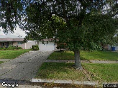
30344 Kelsey Dr Warren, MI 48092
Northwest Warren NeighborhoodEstimated Value: $278,531 - $293,000
3
Beds
2
Baths
1,612
Sq Ft
$178/Sq Ft
Est. Value
About This Home
This home is located at 30344 Kelsey Dr, Warren, MI 48092 and is currently estimated at $287,633, approximately $178 per square foot. 30344 Kelsey Dr is a home located in Macomb County with nearby schools including Green Acres Elementary School, Beer Middle School, and Warren Mott High School.
Ownership History
Date
Name
Owned For
Owner Type
Purchase Details
Closed on
Nov 8, 2004
Sold by
Malayil Saju Thomas and Malayil Joseph T
Bought by
Malayil Thankamma T and Malayil Simy T
Current Estimated Value
Home Financials for this Owner
Home Financials are based on the most recent Mortgage that was taken out on this home.
Original Mortgage
$114,150
Outstanding Balance
$51,224
Interest Rate
3.62%
Mortgage Type
Purchase Money Mortgage
Estimated Equity
$236,443
Purchase Details
Closed on
Mar 5, 1997
Sold by
Grose H
Bought by
Malayil T
Create a Home Valuation Report for This Property
The Home Valuation Report is an in-depth analysis detailing your home's value as well as a comparison with similar homes in the area
Home Values in the Area
Average Home Value in this Area
Purchase History
| Date | Buyer | Sale Price | Title Company |
|---|---|---|---|
| Malayil Thankamma T | -- | Title Source Inc Recording D | |
| Malayil T | $133,500 | -- |
Source: Public Records
Mortgage History
| Date | Status | Borrower | Loan Amount |
|---|---|---|---|
| Open | Malayil Thankamma T | $114,150 |
Source: Public Records
Tax History Compared to Growth
Tax History
| Year | Tax Paid | Tax Assessment Tax Assessment Total Assessment is a certain percentage of the fair market value that is determined by local assessors to be the total taxable value of land and additions on the property. | Land | Improvement |
|---|---|---|---|---|
| 2024 | $3,551 | $129,070 | $0 | $0 |
| 2023 | $3,366 | $114,360 | $0 | $0 |
| 2022 | $3,252 | $100,180 | $0 | $0 |
| 2021 | $3,309 | $94,740 | $0 | $0 |
| 2020 | $3,191 | $89,010 | $0 | $0 |
| 2019 | $3,076 | $85,560 | $0 | $0 |
| 2018 | $3,125 | $76,340 | $0 | $0 |
| 2017 | $3,085 | $69,980 | $10,820 | $59,160 |
| 2016 | $3,081 | $69,980 | $0 | $0 |
| 2015 | -- | $62,350 | $0 | $0 |
| 2013 | $2,891 | $52,990 | $0 | $0 |
Source: Public Records
Map
Nearby Homes
- 4705 Alger St
- 4750 La Chene Dr
- 4967 N Grand Oaks Dr
- 29811 Boewe Dr
- 4610 Burssens Dr
- 5181 Hawkseye Trace
- 30493 Bradmore Rd
- 29659 Apolonia Dr
- 30035 Fox Run Cir
- 31209 Blair Dr
- 29565 Apolonia Dr
- 5120 Canterbury Ln
- 29619 Fox Run Cir
- 29490 Woodpark Cir
- 5367 E 13 Mile Rd
- 4481 Marlow Dr
- 29554 van Laan Dr
- 29776 Heritage Pkwy Unit 10
- 5324 Buchanan Ave
- 29318 Orvylle Dr