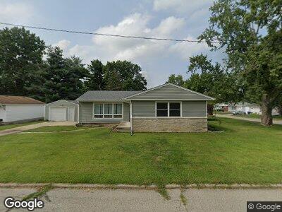
304 Columbus Dr Decatur, IL 62526
Northland Heights NeighborhoodEstimated Value: $111,341 - $129,000
3
Beds
2
Baths
2,032
Sq Ft
$58/Sq Ft
Est. Value
About This Home
This home is located at 304 Columbus Dr, Decatur, IL 62526 and is currently estimated at $118,835, approximately $58 per square foot. 304 Columbus Dr is a home located in Macon County with nearby schools including Parsons Elementary School, Stephen Decatur Middle School, and Our Lady of Lourdes School.
Ownership History
Date
Name
Owned For
Owner Type
Purchase Details
Closed on
Sep 28, 2018
Sold by
Jarosz Jason
Bought by
Jarosz Glenda
Current Estimated Value
Home Financials for this Owner
Home Financials are based on the most recent Mortgage that was taken out on this home.
Original Mortgage
$37,300
Outstanding Balance
$24,792
Interest Rate
4.6%
Mortgage Type
New Conventional
Estimated Equity
$112,550
Purchase Details
Closed on
Mar 31, 2006
Sold by
Lea Troy W and Lea Teresa M
Bought by
Jarosz Jason
Home Financials for this Owner
Home Financials are based on the most recent Mortgage that was taken out on this home.
Original Mortgage
$67,200
Interest Rate
6.37%
Mortgage Type
New Conventional
Purchase Details
Closed on
Apr 1, 1997
Create a Home Valuation Report for This Property
The Home Valuation Report is an in-depth analysis detailing your home's value as well as a comparison with similar homes in the area
Home Values in the Area
Average Home Value in this Area
Purchase History
| Date | Buyer | Sale Price | Title Company |
|---|---|---|---|
| Jarosz Glenda | -- | None Available | |
| Jarosz Jason | $84,000 | None Available | |
| -- | $69,900 | -- |
Source: Public Records
Mortgage History
| Date | Status | Borrower | Loan Amount |
|---|---|---|---|
| Open | Jarosz Glenda | $37,300 | |
| Open | Jarosz Soy | $67,655 | |
| Closed | Jarosz Jason T | $15,000 | |
| Closed | Jarosz Jason | $67,200 | |
| Closed | Jarosz Jason T | $10,000 |
Source: Public Records
Tax History Compared to Growth
Tax History
| Year | Tax Paid | Tax Assessment Tax Assessment Total Assessment is a certain percentage of the fair market value that is determined by local assessors to be the total taxable value of land and additions on the property. | Land | Improvement |
|---|---|---|---|---|
| 2023 | $3,180 | $37,566 | $3,988 | $33,578 |
| 2022 | $2,980 | $34,842 | $3,699 | $31,143 |
| 2021 | $2,641 | $31,459 | $3,459 | $28,000 |
| 2020 | $2,646 | $30,810 | $3,388 | $27,422 |
| 2019 | $2,646 | $30,810 | $3,388 | $27,422 |
| 2018 | $2,636 | $31,030 | $3,412 | $27,618 |
| 2017 | $2,649 | $31,203 | $3,431 | $27,772 |
| 2016 | $2,676 | $31,278 | $3,439 | $27,839 |
| 2015 | $2,547 | $30,907 | $3,398 | $27,509 |
| 2014 | $2,387 | $30,907 | $3,398 | $27,509 |
| 2013 | $2,378 | $30,907 | $3,398 | $27,509 |
Source: Public Records
Map
Nearby Homes
- 234 W Karen Dr
- 134 W Karen Dr
- 18 Grays Ln
- 645 Crestline Dr
- 45 Larry Dr
- 5 Greenridge Dr
- 3867 N Burchard Dr
- 109 Canterbury Dr
- 3939 NE Court Dr
- 4081 Sheffield Ct
- 396 W Ash Ave
- 4065 N Neely Ave
- 3732 Sims Dr
- 1461 Meadowview Dr
- 661 Wolf Rd
- 2480 N Graceland Ave
- 4437 Lawson Dr
- 1463 W Greendell Dr
- 4525 N Adams Dr
- 1606 E Barrington Ave