309 Woodstock Rd Millbrook, NY 12545
Washington NeighborhoodEstimated Value: $4,554,301 - $5,219,000
7
Beds
9
Baths
12,659
Sq Ft
$381/Sq Ft
Est. Value
About This Home
This home is located at 309 Woodstock Rd, Millbrook, NY 12545 and is currently estimated at $4,817,434, approximately $380 per square foot. 309 Woodstock Rd is a home located in Dutchess County with nearby schools including Elm Drive Elementary School, Alden Place Elementary School, and Millbrook Middle School.
Ownership History
Date
Name
Owned For
Owner Type
Purchase Details
Closed on
Sep 25, 2013
Sold by
Grossman Neil
Bought by
Min-Neil Woodstock Assoc
Current Estimated Value
Home Financials for this Owner
Home Financials are based on the most recent Mortgage that was taken out on this home.
Original Mortgage
$143,299
Interest Rate
3%
Mortgage Type
Unknown
Purchase Details
Closed on
Nov 4, 1998
Sold by
Pulvermacher Louis C and Pulvermacher Jo K
Bought by
Grossman Neil D and Grossman Mindy F
Create a Home Valuation Report for This Property
The Home Valuation Report is an in-depth analysis detailing your home's value as well as a comparison with similar homes in the area
Home Values in the Area
Average Home Value in this Area
Purchase History
| Date | Buyer | Sale Price | Title Company |
|---|---|---|---|
| Min-Neil Woodstock Assoc | -- | Elizabeth Holden | |
| Grossman Neil D | $1,375,000 | -- |
Source: Public Records
Mortgage History
| Date | Status | Borrower | Loan Amount |
|---|---|---|---|
| Open | Min Neil Woodstock Assoc | $2,078,718 | |
| Closed | Min Neil Woodstock Assoc | $143,299 | |
| Closed | Min-Neil Woodstock Assoc | $143,299 | |
| Previous Owner | Grossman Neil D | $12,213 | |
| Previous Owner | Grossman Neil D | $150,000 |
Source: Public Records
Tax History Compared to Growth
Tax History
| Year | Tax Paid | Tax Assessment Tax Assessment Total Assessment is a certain percentage of the fair market value that is determined by local assessors to be the total taxable value of land and additions on the property. | Land | Improvement |
|---|---|---|---|---|
| 2023 | $91,321 | $4,373,095 | $514,200 | $3,858,895 |
| 2022 | $85,219 | $4,100,700 | $514,200 | $3,586,500 |
| 2021 | $85,423 | $4,100,700 | $514,200 | $3,586,500 |
| 2020 | $91,326 | $4,220,700 | $514,200 | $3,706,500 |
| 2019 | $89,018 | $4,100,700 | $514,200 | $3,586,500 |
| 2018 | $80,901 | $3,855,000 | $514,200 | $3,340,800 |
| 2017 | $67,256 | $3,360,000 | $514,200 | $2,845,800 |
| 2016 | $66,398 | $3,360,000 | $514,200 | $2,845,800 |
| 2015 | -- | $3,360,000 | $514,200 | $2,845,800 |
| 2014 | -- | $3,360,000 | $514,200 | $2,845,800 |
Source: Public Records
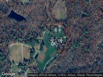
Map
Nearby Homes
- 259 Woodstock Rd
- 5282 Route 82
- 16 Shunpike
- 311 Shunpike
- 477 Canoe Hill Rd
- 452 Hibernia Rd
- 817 Stanford Rd
- 465 Shunpike
- 53 Jameson Hill Rd
- 20 Orchard Hill Dr
- 129 W Meadow Ln
- 2464 Salt Point Turnpike
- 45 Hitchcock Ln
- 65 Patricia Ln
- 36 Heritage Rd
- 2716 Salt Point Turnpike
- 1 Kimberly Way
- 20 North Ave
- 135 Sisters Hill Rd
- 52 Eleanor Dr