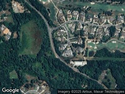
320 Blair Ct Unit 43 Alpharetta, GA 30004
Estimated Value: $2,006,863 - $2,471,000
5
Beds
6
Baths
5,074
Sq Ft
$425/Sq Ft
Est. Value
About This Home
This home is located at 320 Blair Ct Unit 43, Alpharetta, GA 30004 and is currently estimated at $2,158,716, approximately $425 per square foot. 320 Blair Ct Unit 43 is a home located in Fulton County with nearby schools including Summit Hill Elementary School, Hopewell Middle School, and Cambridge High School.
Ownership History
Date
Name
Owned For
Owner Type
Purchase Details
Closed on
Jun 22, 2021
Sold by
King Steven
Bought by
Silverstein Todd
Current Estimated Value
Home Financials for this Owner
Home Financials are based on the most recent Mortgage that was taken out on this home.
Original Mortgage
$1,133,000
Outstanding Balance
$1,043,492
Interest Rate
2.9%
Mortgage Type
New Conventional
Estimated Equity
$1,096,678
Purchase Details
Closed on
Aug 10, 2016
Bought by
King Steven
Home Financials for this Owner
Home Financials are based on the most recent Mortgage that was taken out on this home.
Original Mortgage
$932,000
Interest Rate
3.42%
Mortgage Type
New Conventional
Purchase Details
Closed on
Jan 28, 2015
Sold by
South Downs Properties Llc
Bought by
Sr Homes Llc
Purchase Details
Closed on
Jan 27, 2015
Sold by
1699 Land Co Llc
Bought by
South Downs Properties Llc
Purchase Details
Closed on
Jun 18, 2013
Sold by
Manor Real Estate Holdings
Bought by
1699 Land Co Llc
Create a Home Valuation Report for This Property
The Home Valuation Report is an in-depth analysis detailing your home's value as well as a comparison with similar homes in the area
Home Values in the Area
Average Home Value in this Area
Purchase History
| Date | Buyer | Sale Price | Title Company |
|---|---|---|---|
| Silverstein Todd | $1,416,250 | -- | |
| King Steven | $1,165,000 | -- | |
| Sr Homes Llc | -- | -- | |
| South Downs Properties Llc | $220,000 | -- | |
| 1699 Land Co Llc | $119,000 | -- |
Source: Public Records
Mortgage History
| Date | Status | Borrower | Loan Amount |
|---|---|---|---|
| Open | Silverstein Todd | $1,133,000 | |
| Closed | Silverstein Todd | $1,133,000 | |
| Previous Owner | King Steven | $932,000 |
Source: Public Records
Tax History Compared to Growth
Tax History
| Year | Tax Paid | Tax Assessment Tax Assessment Total Assessment is a certain percentage of the fair market value that is determined by local assessors to be the total taxable value of land and additions on the property. | Land | Improvement |
|---|---|---|---|---|
| 2023 | $20,797 | $736,800 | $111,880 | $624,920 |
| 2022 | $14,904 | $566,480 | $103,680 | $462,800 |
| 2021 | $10,871 | $507,720 | $130,480 | $377,240 |
| 2020 | $10,978 | $415,440 | $51,120 | $364,320 |
| 2019 | $2,048 | $415,400 | $74,000 | $341,400 |
| 2018 | $11,450 | $405,640 | $72,240 | $333,400 |
| 2017 | $11,092 | $380,160 | $70,200 | $309,960 |
| 2016 | $11,094 | $380,160 | $70,200 | $309,960 |
| 2015 | $2,389 | $70,200 | $70,200 | $0 |
| 2014 | $2,414 | $78,760 | $78,760 | $0 |
Source: Public Records
Map
Nearby Homes
- 3034 Watsons Bend
- 3074 Watsons Bend
- 1073 Kent Ct
- 15470 Alpha Woods Dr
- 1016 Summit View Ln
- 2595 Grassview Dr
- 5060 Kings Close
- 5040 Kings Close
- 15938 Manor Club Dr
- 15819 Winterfield Way
- 15792 Thompson Rd
- 3274 Watsons Bend
- 15794 Thompson Rd
- 2863 Stirling Ridge Ct
- 15954 Manor Club Dr
- 15585 Thompson Rd
- 15951 Manor Club Dr Unit 315
