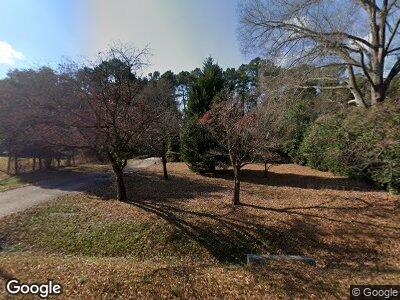
3807 Cole Mill Rd Durham, NC 27712
Croasdaile NeighborhoodEstimated Value: $355,565 - $416,000
3
Beds
2
Baths
1,552
Sq Ft
$242/Sq Ft
Est. Value
About This Home
This home is located at 3807 Cole Mill Rd, Durham, NC 27712 and is currently estimated at $375,891, approximately $242 per square foot. 3807 Cole Mill Rd is a home located in Durham County with nearby schools including Hillandale Elementary School, George L Carrington Middle, and Riverside High School.
Ownership History
Date
Name
Owned For
Owner Type
Purchase Details
Closed on
Apr 25, 2016
Sold by
Molnar Debra Terpay
Bought by
Tanksley Jarred P and Tanksley Jennifer R
Current Estimated Value
Home Financials for this Owner
Home Financials are based on the most recent Mortgage that was taken out on this home.
Original Mortgage
$175,000
Outstanding Balance
$141,448
Interest Rate
3.38%
Estimated Equity
$234,654
Purchase Details
Closed on
Jul 27, 2007
Sold by
Butterfield Kevin W
Bought by
Terpay Joyce and William Terpay Family Trust
Create a Home Valuation Report for This Property
The Home Valuation Report is an in-depth analysis detailing your home's value as well as a comparison with similar homes in the area
Home Values in the Area
Average Home Value in this Area
Purchase History
| Date | Buyer | Sale Price | Title Company |
|---|---|---|---|
| Tanksley Jarred P | $175,000 | -- | |
| Terpay Joyce | $155,900 | None Available |
Source: Public Records
Mortgage History
| Date | Status | Borrower | Loan Amount |
|---|---|---|---|
| Open | Tanksley Jarred P | $175,000 |
Source: Public Records
Tax History Compared to Growth
Tax History
| Year | Tax Paid | Tax Assessment Tax Assessment Total Assessment is a certain percentage of the fair market value that is determined by local assessors to be the total taxable value of land and additions on the property. | Land | Improvement |
|---|---|---|---|---|
| 2024 | $2,539 | $182,047 | $32,827 | $149,220 |
| 2023 | $2,385 | $182,047 | $32,827 | $149,220 |
| 2022 | $2,330 | $182,047 | $32,827 | $149,220 |
| 2021 | $2,319 | $182,047 | $32,827 | $149,220 |
| 2020 | $2,264 | $182,047 | $32,827 | $149,220 |
| 2019 | $2,264 | $182,047 | $32,827 | $149,220 |
| 2018 | $2,244 | $165,438 | $29,180 | $136,258 |
| 2017 | $2,228 | $165,438 | $29,180 | $136,258 |
| 2016 | $2,153 | $165,438 | $29,180 | $136,258 |
| 2015 | $2,549 | $184,102 | $34,700 | $149,402 |
| 2014 | -- | $184,102 | $34,700 | $149,402 |
Source: Public Records
Map
Nearby Homes
- 149 Baldwin Dr
- 3508 Cole Mill Rd
- 216 Jefferson Dr
- 211 Fleming Dr
- 4508 Regis Ave
- 2808 Newquay St
- 2715 Freemont Rd
- 7 Dubarry Ct
- 4000 Forrestdale Dr
- 1112 Valley Rose Way
- 503 Marshall Way
- 4800 Howe St
- 803 Blackberry Ln
- 3 Alumwood Place
- 129 Crestridge Place
- 112 Crestridge Place
- Lot 2 Willet Rd
- 1204 Opal Ln Unit 93
- 1208 Opal Ln Unit 92
- 1112 Opal Ln Unit 102
