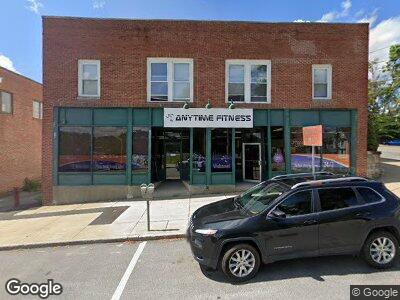
40 Summer St Maynard, MA 01754
Downtown Maynard NeighborhoodEstimated Value: $807,003
--
Bed
2
Baths
2,600
Sq Ft
$310/Sq Ft
Est. Value
About This Home
This home is located at 40 Summer St, Maynard, MA 01754 and is currently estimated at $807,003, approximately $310 per square foot. 40 Summer St is a home located in Middlesex County with nearby schools including Green Meadow School, Fowler School, and Maynard High School.
Ownership History
Date
Name
Owned For
Owner Type
Purchase Details
Closed on
Jul 13, 2020
Sold by
Celia T Rt
Bought by
Take Me Hm Again Rlty Inc
Current Estimated Value
Home Financials for this Owner
Home Financials are based on the most recent Mortgage that was taken out on this home.
Original Mortgage
$279,900
Interest Rate
3.1%
Mortgage Type
New Conventional
Purchase Details
Closed on
Jan 8, 2019
Sold by
Curtin Richard J
Bought by
Celia T Rt
Purchase Details
Closed on
Dec 7, 1993
Sold by
Town Of Maynard
Bought by
K Of C Bldg Assn
Create a Home Valuation Report for This Property
The Home Valuation Report is an in-depth analysis detailing your home's value as well as a comparison with similar homes in the area
Home Values in the Area
Average Home Value in this Area
Purchase History
| Date | Buyer | Sale Price | Title Company |
|---|---|---|---|
| Take Me Hm Again Rlty Inc | $559,900 | None Available | |
| Celia T Rt | -- | -- | |
| K Of C Bldg Assn | $5,251 | -- |
Source: Public Records
Mortgage History
| Date | Status | Borrower | Loan Amount |
|---|---|---|---|
| Open | Take Me Again Realty Inc | $170,000 | |
| Open | Take Me Hm Again Rlty Inc | $280,000 | |
| Closed | Take Me Hm Again Rlty Inc | $279,900 | |
| Previous Owner | Curtin Richard J | $90,000 | |
| Previous Owner | Curtin Richard J | $250,000 | |
| Previous Owner | Knights Of Columbus Bu | $15,000 | |
| Previous Owner | Campbell Jason C | $293,000 |
Source: Public Records
Tax History Compared to Growth
Tax History
| Year | Tax Paid | Tax Assessment Tax Assessment Total Assessment is a certain percentage of the fair market value that is determined by local assessors to be the total taxable value of land and additions on the property. | Land | Improvement |
|---|---|---|---|---|
| 2024 | $13,741 | $577,100 | $229,900 | $347,200 |
| 2023 | $13,334 | $528,300 | $208,300 | $320,000 |
| 2022 | $14,454 | $528,300 | $208,300 | $320,000 |
| 2021 | $10,853 | $404,800 | $194,000 | $210,800 |
| 2020 | $11,042 | $395,900 | $186,800 | $209,100 |
| 2019 | $11,426 | $395,900 | $186,800 | $209,100 |
| 2018 | $12,312 | $395,900 | $186,800 | $209,100 |
| 2017 | $12,103 | $395,900 | $186,800 | $209,100 |
| 2016 | $7,759 | $262,400 | $93,400 | $169,000 |
| 2015 | $7,828 | $251,800 | $93,400 | $158,400 |
| 2014 | $8,128 | $251,800 | $93,400 | $158,400 |
Source: Public Records
Map
Nearby Homes
- 2 Brooks St
- 39 Acton St
- 20 Maple St
- 17 Prospect St
- 2 East St
- 16 Waltham St
- 3 Bent Ave
- 36 Parker St
- 10 Riverbank Rd Unit 1
- 25 Randall Rd
- 30 Arthur St Unit 2
- 89 Brooks St
- 66 Powder Mill Rd
- 52 Mckinley St Unit 52
- 4 Percival St Unit 4
- 79 Waltham St
- 48 Sudbury St Unit 2
- 20 Amory Ave
- 14 Walker St
- 11 Pine St