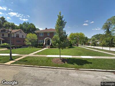
400 Sunset Ave La Grange, IL 60525
Estimated Value: $1,618,000 - $1,778,000
5
Beds
6
Baths
6,707
Sq Ft
$257/Sq Ft
Est. Value
About This Home
This home is located at 400 Sunset Ave, La Grange, IL 60525 and is currently estimated at $1,722,050, approximately $256 per square foot. 400 Sunset Ave is a home located in Cook County with nearby schools including Cossitt Avenue Elementary School, Park Junior High School, and Lyons Township High School.
Ownership History
Date
Name
Owned For
Owner Type
Purchase Details
Closed on
Mar 20, 2024
Sold by
Napleton Robert J and Napleton Clare M
Bought by
Dolehide Conor and Quaid Jessica
Current Estimated Value
Home Financials for this Owner
Home Financials are based on the most recent Mortgage that was taken out on this home.
Original Mortgage
$1,250,000
Outstanding Balance
$1,239,100
Interest Rate
6.25%
Mortgage Type
New Conventional
Estimated Equity
$495,640
Purchase Details
Closed on
Apr 25, 1996
Sold by
Walsh Matthew T and Walsh Andrea L
Bought by
Napleton Robert J and Napleton Clare
Home Financials for this Owner
Home Financials are based on the most recent Mortgage that was taken out on this home.
Original Mortgage
$249,999
Interest Rate
7.91%
Create a Home Valuation Report for This Property
The Home Valuation Report is an in-depth analysis detailing your home's value as well as a comparison with similar homes in the area
Home Values in the Area
Average Home Value in this Area
Purchase History
| Date | Buyer | Sale Price | Title Company |
|---|---|---|---|
| Dolehide Conor | $1,600,000 | Fidelity National Title | |
| Napleton Robert J | $385,000 | Prairie Title |
Source: Public Records
Mortgage History
| Date | Status | Borrower | Loan Amount |
|---|---|---|---|
| Open | Dolehide Conor | $1,250,000 | |
| Previous Owner | Napleton Robert J | $249,999 |
Source: Public Records
Tax History Compared to Growth
Tax History
| Year | Tax Paid | Tax Assessment Tax Assessment Total Assessment is a certain percentage of the fair market value that is determined by local assessors to be the total taxable value of land and additions on the property. | Land | Improvement |
|---|---|---|---|---|
| 2024 | $34,897 | $142,682 | $16,416 | $126,266 |
| 2023 | $34,897 | $142,682 | $16,416 | $126,266 |
| 2022 | $34,897 | $118,849 | $12,312 | $106,537 |
| 2021 | $33,521 | $118,849 | $12,312 | $106,537 |
| 2020 | $32,809 | $118,849 | $12,312 | $106,537 |
| 2019 | $31,061 | $116,017 | $11,286 | $104,731 |
| 2018 | $32,050 | $121,864 | $11,286 | $110,578 |
| 2017 | $34,993 | $136,189 | $11,286 | $124,903 |
| 2016 | $24,872 | $87,500 | $9,918 | $77,582 |
| 2015 | $23,216 | $87,500 | $9,918 | $77,582 |
| 2014 | $22,864 | $87,500 | $9,918 | $77,582 |
| 2013 | $23,478 | $91,500 | $9,918 | $81,582 |
Source: Public Records
Map
Nearby Homes
- 421 Blackstone Ave
- 426 S Park Rd
- 500 S Edgewood Ave
- 241 Leitch Ave
- 611 W Elm Ave
- 215 45th St
- 328 S Kensington Ave
- 4211 Harvey Ave
- 125 S Kensington Ave
- 624 S Catherine Ave
- 4144 Harvey Ave
- 537 S Ashland Ave
- 514 Hillgrove Ave Unit 204
- 4475 Johnson Ave
- 4453 Johnson Ave
- 420 W Burlington Ave Unit 303
- 4733 Johnson Ave
- 601 S Madison Ave
- 115 51st Place
- 40 S Ashland Ave Unit 3B