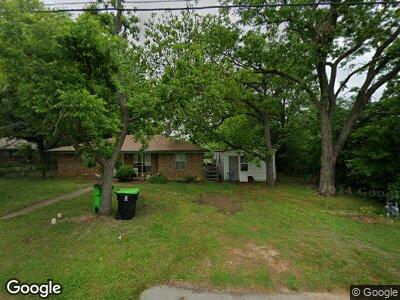
405 Union St Aubrey, TX 76227
Aubrey NeighborhoodEstimated Value: $366,000 - $391,000
3
Beds
2
Baths
1,594
Sq Ft
$238/Sq Ft
Est. Value
About This Home
This home is located at 405 Union St, Aubrey, TX 76227 and is currently estimated at $379,241, approximately $237 per square foot. 405 Union St is a home located in Denton County with nearby schools including HL Brockett Elementary School, Aubrey Middle School, and Aubrey High School.
Ownership History
Date
Name
Owned For
Owner Type
Purchase Details
Closed on
Apr 17, 2023
Sold by
Perez-Ulloa Francisco J
Bought by
Rosentrater Joshua Robert and West Parker Isaac
Current Estimated Value
Home Financials for this Owner
Home Financials are based on the most recent Mortgage that was taken out on this home.
Original Mortgage
$378,300
Outstanding Balance
$370,925
Interest Rate
6.65%
Mortgage Type
New Conventional
Estimated Equity
$13,994
Purchase Details
Closed on
Jan 5, 2016
Sold by
Hernandes Rogelio
Bought by
Ulloa Francisco J Perez
Home Financials for this Owner
Home Financials are based on the most recent Mortgage that was taken out on this home.
Original Mortgage
$64,000
Interest Rate
5%
Mortgage Type
Adjustable Rate Mortgage/ARM
Create a Home Valuation Report for This Property
The Home Valuation Report is an in-depth analysis detailing your home's value as well as a comparison with similar homes in the area
Home Values in the Area
Average Home Value in this Area
Purchase History
| Date | Buyer | Sale Price | Title Company |
|---|---|---|---|
| Rosentrater Joshua Robert | $378,300 | None Listed On Document | |
| Ulloa Francisco J Perez | -- | None Available |
Source: Public Records
Mortgage History
| Date | Status | Borrower | Loan Amount |
|---|---|---|---|
| Open | Rosentrater Joshua Robert | $378,300 | |
| Previous Owner | Perez Ulloa Francisco J | $182,350 | |
| Previous Owner | Perez Ulloa Francisco J | $182,350 | |
| Previous Owner | Ulloa Francisco J Perez | $64,000 |
Source: Public Records
Tax History Compared to Growth
Tax History
| Year | Tax Paid | Tax Assessment Tax Assessment Total Assessment is a certain percentage of the fair market value that is determined by local assessors to be the total taxable value of land and additions on the property. | Land | Improvement |
|---|---|---|---|---|
| 2024 | $7,857 | $411,987 | $87,094 | $324,893 |
| 2023 | $4,415 | $298,548 | $67,933 | $230,615 |
| 2022 | $6,755 | $317,829 | $67,933 | $249,896 |
| 2021 | $5,804 | $255,091 | $44,157 | $210,934 |
| 2020 | $4,961 | $212,456 | $44,157 | $168,299 |
| 2019 | $2,219 | $94,137 | $44,157 | $49,980 |
Source: Public Records
Map
Nearby Homes
- 7241 Cherry Blossom Ln
- 532 Amy jo Cir
- 604 N Cherry St
- 509 Brockett St
- 4004 Pond Cypress St
- 506 Lois St
- 622 Brockett St
- 307 S Magnolia St
- TBD Rock Hill Rd
- TBD Farm To Market Road 428
- 710 Caddell St
- 1809 Stirrups Dr
- 317 Countryside Dr
- 500 Rock Hill Rd
- 416 Countryside Dr
- 807 Chestnut St
- 2004 Maxwell Ct
- 1.6 Acres Pine Ridge St
- 0.652 Ac Pine Ridge St
- 804 Meadowview Ct