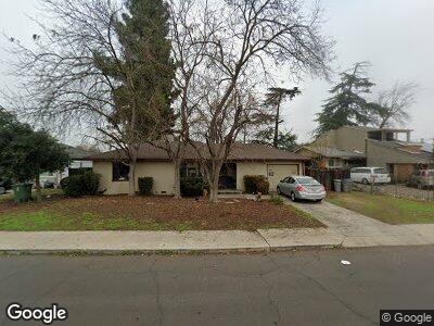
4347 Kenmore Dr S Fresno, CA 93703
McLane NeighborhoodEstimated Value: $231,322 - $271,000
2
Beds
1
Bath
862
Sq Ft
$298/Sq Ft
Est. Value
About This Home
This home is located at 4347 Kenmore Dr S, Fresno, CA 93703 and is currently estimated at $256,831, approximately $297 per square foot. 4347 Kenmore Dr S is a home located in Fresno County with nearby schools including Norseman Elementary School, Scandinavian Middle School, and Mclane High School.
Ownership History
Date
Name
Owned For
Owner Type
Purchase Details
Closed on
May 18, 2011
Sold by
Tiznado Ricardo and Cuevas Alma L
Bought by
Wilson Gary P and Wilson Vivian L
Current Estimated Value
Purchase Details
Closed on
May 24, 2005
Sold by
Fitzpatrick Maurice and Fitzpatrick Jule
Bought by
Tiznado Ricardo and Cuevas Alma L
Home Financials for this Owner
Home Financials are based on the most recent Mortgage that was taken out on this home.
Original Mortgage
$34,600
Interest Rate
5.74%
Mortgage Type
Credit Line Revolving
Purchase Details
Closed on
Sep 5, 2003
Sold by
Fitzpatrick Maurice and Fitzpatrick Jule
Bought by
Fitzpatrick Maurice and Fitzpatrick Jule
Create a Home Valuation Report for This Property
The Home Valuation Report is an in-depth analysis detailing your home's value as well as a comparison with similar homes in the area
Home Values in the Area
Average Home Value in this Area
Purchase History
| Date | Buyer | Sale Price | Title Company |
|---|---|---|---|
| Wilson Gary P | $49,000 | Fidelity National Title Co | |
| Tiznado Ricardo | $173,000 | North American Title Co Inc | |
| Fitzpatrick Maurice | -- | -- |
Source: Public Records
Mortgage History
| Date | Status | Borrower | Loan Amount |
|---|---|---|---|
| Previous Owner | Tiznado Ricardo | $21,178 | |
| Previous Owner | Tiznado Ricardo | $169,600 | |
| Previous Owner | Tiznado Ricardo | $34,600 | |
| Previous Owner | Tiznado Ricardo | $138,400 |
Source: Public Records
Tax History Compared to Growth
Tax History
| Year | Tax Paid | Tax Assessment Tax Assessment Total Assessment is a certain percentage of the fair market value that is determined by local assessors to be the total taxable value of land and additions on the property. | Land | Improvement |
|---|---|---|---|---|
| 2023 | $765 | $60,332 | $30,781 | $29,551 |
| 2022 | $755 | $59,150 | $30,178 | $28,972 |
| 2021 | $735 | $57,991 | $29,587 | $28,404 |
| 2020 | $732 | $57,397 | $29,284 | $28,113 |
| 2019 | $704 | $56,272 | $28,710 | $27,562 |
| 2018 | $689 | $55,170 | $28,148 | $27,022 |
| 2017 | $678 | $54,090 | $27,597 | $26,493 |
| 2016 | $655 | $53,030 | $27,056 | $25,974 |
| 2015 | $646 | $52,234 | $26,650 | $25,584 |
| 2014 | $634 | $51,211 | $26,128 | $25,083 |
Source: Public Records
Map
Nearby Homes
- 4227 Kenmore Dr S
- 4404 E Weldon Ave
- 4002 Maywood Dr S
- 3932 E Clinton Ave
- 2135 Arden Dr W
- 2103 N Price Ave Unit 106
- 4421 E Hedges Ave
- 0 E Cornell N Jackson Unit 627402
- 4139 E Hedges Ave
- 3767 Kenmore Dr N
- 1614 N 7th St
- 1651 N 7th St
- 3823 E Clinton Ave
- 2035 Evergreen St
- 2240
- 1912 Norris Dr E
- 2103 Mayfair Dr E
- 4014 E Olive Ave