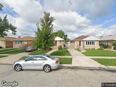
4528 N Ozanam Ave Norridge, IL 60706
Estimated Value: $370,000 - $411,000
3
Beds
1
Bath
1,248
Sq Ft
$307/Sq Ft
Est. Value
About This Home
This home is located at 4528 N Ozanam Ave, Norridge, IL 60706 and is currently estimated at $382,960, approximately $306 per square foot. 4528 N Ozanam Ave is a home located in Cook County with nearby schools including J Leigh Elementary School, Ridgewood Community High School, and St Eugene School.
Ownership History
Date
Name
Owned For
Owner Type
Purchase Details
Closed on
Jun 24, 1992
Sold by
Capitol Bank & Trust
Bought by
Austin Bank Of Chicago
Current Estimated Value
Create a Home Valuation Report for This Property
The Home Valuation Report is an in-depth analysis detailing your home's value as well as a comparison with similar homes in the area
Home Values in the Area
Average Home Value in this Area
Purchase History
| Date | Buyer | Sale Price | Title Company |
|---|---|---|---|
| Austin Bank Of Chicago | -- | -- |
Source: Public Records
Mortgage History
| Date | Status | Borrower | Loan Amount |
|---|---|---|---|
| Closed | Chicago Title Land Trust Company | $821,000 | |
| Closed | Chicago Title Land Trust Company | $1,000,000 | |
| Closed | Park National Bank | $50,000 | |
| Closed | Park National Bank | $150,000 | |
| Closed | Park National Bank | $425,000 | |
| Closed | Cosmopolitan Bank & Trust | $110,000 | |
| Closed | Austin Bank Of Chicago | $80,000 | |
| Closed | Austin Bank Of Chicago | $346,000 | |
| Closed | Austin Bank Of Chicago | $120,000 | |
| Closed | Austin Bank Of Chicago | $1,177,508 | |
| Closed | Austin Bank Of Chicago | $100,000 |
Source: Public Records
Tax History Compared to Growth
Tax History
| Year | Tax Paid | Tax Assessment Tax Assessment Total Assessment is a certain percentage of the fair market value that is determined by local assessors to be the total taxable value of land and additions on the property. | Land | Improvement |
|---|---|---|---|---|
| 2024 | $5,482 | $30,551 | $6,968 | $23,583 |
| 2023 | $5,482 | $30,551 | $6,968 | $23,583 |
| 2022 | $5,482 | $30,551 | $6,968 | $23,583 |
| 2021 | $4,274 | $22,799 | $6,164 | $16,635 |
| 2020 | $5,998 | $24,193 | $6,164 | $18,029 |
| 2019 | $4,843 | $28,204 | $6,164 | $22,040 |
| 2018 | $6,463 | $25,304 | $5,092 | $20,212 |
| 2017 | $4,790 | $25,304 | $5,092 | $20,212 |
| 2016 | $4,937 | $25,304 | $5,092 | $20,212 |
| 2015 | $4,751 | $23,152 | $4,422 | $18,730 |
| 2014 | $4,703 | $23,152 | $4,422 | $18,730 |
| 2013 | $5,691 | $23,152 | $4,422 | $18,730 |
Source: Public Records
Map
Nearby Homes
- 4557 N Overhill Ave
- 4605 N Canfield Ave
- 8001 W Giddings St
- 7847 W Gunnison St
- 7616 W Lawrence Ave Unit 3A
- 4404 N Redwood Dr
- 8118 W Courtland Ave
- 7609 W Gunnison St
- 7549 W Gunnison St
- Lot 2 5401 N Mont Clare Ave
- Lot 1 5401 N Mont Clare Ave
- 4145 N Ozanam Ave
- 4200 N Oriole Ave
- 4933 N Opal Ave
- 4227 N Oleander Ave
- 4944 N Orange Ave
- 4821 N Prospect Ave
- 8300 W Coral Dr
- 4833 N Olcott Ave Unit 4833501
- 7420 W Lawrence Ave Unit 109