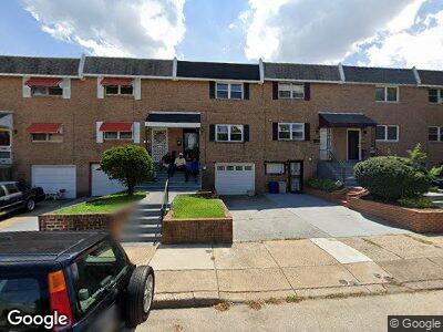
514 Poplar St Philadelphia, PA 19123
Northern Liberties NeighborhoodEstimated Value: $372,000 - $500,000
3
Beds
3
Baths
1,260
Sq Ft
$357/Sq Ft
Est. Value
About This Home
This home is located at 514 Poplar St, Philadelphia, PA 19123 and is currently estimated at $449,415, approximately $356 per square foot. 514 Poplar St is a home located in Philadelphia County with nearby schools including General Philip Kearny, Benjamin Franklin High School, and Young Scholars Charter School.
Ownership History
Date
Name
Owned For
Owner Type
Purchase Details
Closed on
Feb 7, 2018
Sold by
Stephens Crystal Marie
Bought by
Bcl National Sfh Llc
Current Estimated Value
Purchase Details
Closed on
Feb 13, 1990
Bought by
Stephens Crystal M
Create a Home Valuation Report for This Property
The Home Valuation Report is an in-depth analysis detailing your home's value as well as a comparison with similar homes in the area
Home Values in the Area
Average Home Value in this Area
Purchase History
| Date | Buyer | Sale Price | Title Company |
|---|---|---|---|
| Bcl National Sfh Llc | $125,000 | Knights Abstract Inc | |
| Stephens Crystal M | $38,900 | -- |
Source: Public Records
Mortgage History
| Date | Status | Borrower | Loan Amount |
|---|---|---|---|
| Previous Owner | Stephens Crystal M | $30,000 | |
| Previous Owner | Stephens Crystal M | $20,000 | |
| Previous Owner | Stephens Crystal Marie | $187,500 | |
| Previous Owner | Stephens Crystal Marie | $162,500 |
Source: Public Records
Tax History Compared to Growth
Tax History
| Year | Tax Paid | Tax Assessment Tax Assessment Total Assessment is a certain percentage of the fair market value that is determined by local assessors to be the total taxable value of land and additions on the property. | Land | Improvement |
|---|---|---|---|---|
| 2025 | $5,265 | $474,600 | $94,920 | $379,680 |
| 2024 | $5,265 | $474,600 | $94,920 | $379,680 |
| 2023 | $5,265 | $376,100 | $75,220 | $300,880 |
| 2022 | $5,703 | $376,100 | $75,220 | $300,880 |
| 2021 | $5,703 | $0 | $0 | $0 |
| 2020 | $5,703 | $0 | $0 | $0 |
| 2019 | $2,188 | $0 | $0 | $0 |
| 2018 | $2,188 | $0 | $0 | $0 |
| 2017 | $2,188 | $0 | $0 | $0 |
| 2016 | $2,188 | $0 | $0 | $0 |
| 2015 | $905 | $0 | $0 | $0 |
| 2014 | -- | $275,100 | $66,293 | $208,807 |
| 2012 | -- | $16,672 | $1,884 | $14,788 |
Source: Public Records
Map
Nearby Homes
- 901 N 5th St
- 919 N 5th St Unit 4
- 915 N Randolph St
- 603 Poplar St
- 924 N Randolph St
- 935 N 5th St
- 929 N 6th St
- 953 N 5th St
- 957 N 5th St
- 527 Brown St
- 847 N Lawrence St
- 961 N 5th St
- 513 Brown St
- 825 N Orkney St
- 856 N Leithgow St
- 854 N Leithgow St
- 822 N Lawrence St
- 955 N 6th St
- 850 N 4th St Unit A
- 969 N Lawrence St