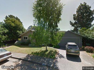
520 Bret Harte Rd San Rafael, CA 94901
Picnic Valley NeighborhoodEstimated Value: $1,259,000 - $1,437,000
4
Beds
2
Baths
2,210
Sq Ft
$623/Sq Ft
Est. Value
About This Home
This home is located at 520 Bret Harte Rd, San Rafael, CA 94901 and is currently estimated at $1,376,016, approximately $622 per square foot. 520 Bret Harte Rd is a home located in Marin County with nearby schools including Laurel Dell Elementary School, James B. Davidson Middle School, and San Rafael High School.
Ownership History
Date
Name
Owned For
Owner Type
Purchase Details
Closed on
Jun 29, 2010
Sold by
Henden Kay Ellen
Bought by
Donig Marshall R and Donig Francesca A
Current Estimated Value
Purchase Details
Closed on
Feb 23, 1998
Sold by
Edwards Velma G and Edwards Donald W
Bought by
Henden Kay Ellen
Home Financials for this Owner
Home Financials are based on the most recent Mortgage that was taken out on this home.
Original Mortgage
$307,980
Interest Rate
6.9%
Purchase Details
Closed on
Feb 6, 1996
Sold by
Guthrie Wayne and Guthrie Wayne N
Bought by
Edwards Velma G
Create a Home Valuation Report for This Property
The Home Valuation Report is an in-depth analysis detailing your home's value as well as a comparison with similar homes in the area
Home Values in the Area
Average Home Value in this Area
Purchase History
| Date | Buyer | Sale Price | Title Company |
|---|---|---|---|
| Donig Marshall R | $741,500 | Old Republic Title Company | |
| Henden Kay Ellen | $342,501 | First American Title Co | |
| Edwards Velma G | -- | -- |
Source: Public Records
Mortgage History
| Date | Status | Borrower | Loan Amount |
|---|---|---|---|
| Previous Owner | Henden Kay Ellen | $322,700 | |
| Previous Owner | Henden Kay Ellen | $165,000 | |
| Previous Owner | Henden Kay Ellen | $124,000 | |
| Previous Owner | Henden Kay Ellen | $45,000 | |
| Previous Owner | Henden Kay Ellen | $307,980 |
Source: Public Records
Tax History Compared to Growth
Tax History
| Year | Tax Paid | Tax Assessment Tax Assessment Total Assessment is a certain percentage of the fair market value that is determined by local assessors to be the total taxable value of land and additions on the property. | Land | Improvement |
|---|---|---|---|---|
| 2024 | $13,328 | $928,176 | $590,315 | $337,861 |
| 2023 | $13,094 | $909,981 | $578,743 | $331,238 |
| 2022 | $12,384 | $892,142 | $567,398 | $324,744 |
| 2021 | $12,186 | $874,650 | $556,273 | $318,377 |
| 2020 | $12,063 | $865,686 | $550,572 | $315,114 |
| 2019 | $11,605 | $848,718 | $539,780 | $308,938 |
| 2018 | $11,491 | $832,084 | $529,201 | $302,883 |
| 2017 | $11,055 | $815,774 | $518,828 | $296,946 |
| 2016 | $10,688 | $799,782 | $508,657 | $291,125 |
| 2015 | $10,214 | $787,774 | $501,020 | $286,754 |
| 2014 | $9,796 | $772,343 | $491,206 | $281,137 |
Source: Public Records
Map
Nearby Homes
- 544 Bret Harte Rd
- 331 Irwin St
- 20 Redding Way
- 0 Bret Harte Rd Unit 324086137
- 116 Auburn St
- 31 Martens Blvd
- 742 Francisco Blvd W Unit A22
- 162 Wolfe Grade
- 14 Alvina Ave
- 236 C St
- 407 Woodland Ave
- 25 Oakhurst Rd
- 129 La Cuesta Dr
- 32 Wolfe Canyon Rd
- 236 Tiburon Blvd
- 513 C St
- 299 Via Barranca
- 205 Vista Grande
- 129 Bretano Way
- 117 Altena St