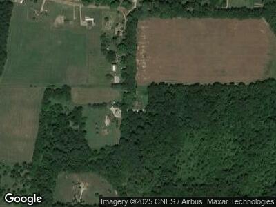
5400 9 Mile Rd Burlington, MI 49029
Estimated Value: $140,000 - $199,000
3
Beds
1
Bath
1,062
Sq Ft
$156/Sq Ft
Est. Value
About This Home
This home is located at 5400 9 Mile Rd, Burlington, MI 49029 and is currently estimated at $166,146, approximately $156 per square foot. 5400 9 Mile Rd is a home located in Calhoun County with nearby schools including Union City Elementary School, Union City Middle School, and Union City High School.
Ownership History
Date
Name
Owned For
Owner Type
Purchase Details
Closed on
Apr 29, 2011
Sold by
Winchell Ralph L and Winchell Denise F
Bought by
Winchell Ralph L and Winchell Denise F
Current Estimated Value
Home Financials for this Owner
Home Financials are based on the most recent Mortgage that was taken out on this home.
Original Mortgage
$52,000
Interest Rate
4.88%
Mortgage Type
New Conventional
Purchase Details
Closed on
Jan 30, 1998
Sold by
Vaden Cliff C and Vaden Dinah R
Bought by
Winchell Ralph L and Winchell Denise F
Create a Home Valuation Report for This Property
The Home Valuation Report is an in-depth analysis detailing your home's value as well as a comparison with similar homes in the area
Home Values in the Area
Average Home Value in this Area
Purchase History
| Date | Buyer | Sale Price | Title Company |
|---|---|---|---|
| Winchell Ralph L | -- | None Available | |
| Winchell Ralph L | $80,500 | -- |
Source: Public Records
Mortgage History
| Date | Status | Borrower | Loan Amount |
|---|---|---|---|
| Open | Winchell Ralph L | $70,500 | |
| Closed | Winchell Ralph L | $52,000 |
Source: Public Records
Tax History Compared to Growth
Tax History
| Year | Tax Paid | Tax Assessment Tax Assessment Total Assessment is a certain percentage of the fair market value that is determined by local assessors to be the total taxable value of land and additions on the property. | Land | Improvement |
|---|---|---|---|---|
| 2024 | $1,228 | $70,430 | $0 | $0 |
| 2023 | $1,209 | $62,010 | $0 | $0 |
| 2022 | $439 | $58,470 | $0 | $0 |
| 2021 | $1,200 | $53,280 | $0 | $0 |
| 2020 | $1,167 | $43,960 | $0 | $0 |
| 2019 | $0 | $40,370 | $0 | $0 |
| 2018 | $0 | $39,800 | $5,390 | $34,410 |
| 2017 | $0 | $40,520 | $0 | $0 |
| 2016 | $0 | $41,000 | $0 | $0 |
| 2015 | -- | $41,600 | $16,375 | $25,225 |
| 2014 | -- | $36,500 | $16,375 | $20,125 |
Source: Public Records
Map
Nearby Homes
- VL M-Drive S
- 6591 Oak Grove Rd
- 9165 J Dr S
- 3311 8 1 2 Mile Rd
- V/L 10 Mile Rd
- 731 Clark Rd
- 7920 8 1 2 Mile Rd
- 7725 6 Mile Rd
- 325 E Leroy St
- 6160 S Dr S
- 8729 D Dr S
- 4074 K Dr S
- 9529 S County Line Rd
- 3567 M Dr S
- 120 Cotton Lake Rd
- 0 10 Mile Rd
- 320 Calhoun St
- 2371 Ramblin Dr
- 433 Creamery Rd
- 206 Crane St