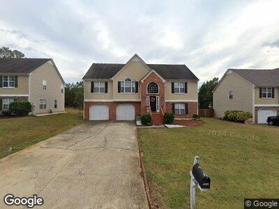
5492 Sweetsprings Dr SW Powder Springs, GA 30127
Estimated Value: $339,000 - $376,186
4
Beds
4
Baths
1,664
Sq Ft
$217/Sq Ft
Est. Value
About This Home
This home is located at 5492 Sweetsprings Dr SW, Powder Springs, GA 30127 and is currently estimated at $360,297, approximately $216 per square foot. 5492 Sweetsprings Dr SW is a home located in Cobb County with nearby schools including Hendricks Elementary School, Cooper Middle School, and McEachern High School.
Ownership History
Date
Name
Owned For
Owner Type
Purchase Details
Closed on
Oct 31, 2022
Sold by
Second Avenue Sfr Holdings F Llc
Bought by
Second Avenue Sfr Holdings Iii Llc
Current Estimated Value
Purchase Details
Closed on
Mar 1, 2022
Sold by
Second Avenue Sfr Holdings Ii Llc
Bought by
Second Avenue Holdings Llc
Purchase Details
Closed on
Dec 17, 2021
Sold by
Zillow Homes Property Trust
Bought by
Second Avenue Sfr Holdings Ii Llc
Purchase Details
Closed on
Sep 17, 2021
Sold by
Patricia Ogude
Bought by
Zillow Homes Property Trust
Purchase Details
Closed on
Apr 27, 2001
Sold by
W & H Properties Llc
Bought by
Itashomi Samson
Home Financials for this Owner
Home Financials are based on the most recent Mortgage that was taken out on this home.
Original Mortgage
$155,665
Interest Rate
6.95%
Mortgage Type
FHA
Create a Home Valuation Report for This Property
The Home Valuation Report is an in-depth analysis detailing your home's value as well as a comparison with similar homes in the area
Home Values in the Area
Average Home Value in this Area
Purchase History
| Date | Buyer | Sale Price | Title Company |
|---|---|---|---|
| Second Avenue Sfr Holdings Iii Llc | -- | -- | |
| Second Avenue Holdings Llc | -- | None Listed On Document | |
| Second Avenue Sfr Holdings Ii Llc | $300,000 | Mcmanamy Mcleod Heller Llc | |
| Zillow Homes Property Trust | $304,900 | None Listed On Document | |
| Itashomi Samson | $156,900 | -- |
Source: Public Records
Mortgage History
| Date | Status | Borrower | Loan Amount |
|---|---|---|---|
| Previous Owner | Itashomi Samson | $155,665 |
Source: Public Records
Tax History Compared to Growth
Tax History
| Year | Tax Paid | Tax Assessment Tax Assessment Total Assessment is a certain percentage of the fair market value that is determined by local assessors to be the total taxable value of land and additions on the property. | Land | Improvement |
|---|---|---|---|---|
| 2024 | $3,802 | $126,096 | $24,000 | $102,096 |
| 2023 | $3,802 | $126,096 | $24,000 | $102,096 |
| 2022 | $3,467 | $114,228 | $16,000 | $98,228 |
| 2021 | $2,650 | $87,328 | $10,000 | $77,328 |
| 2020 | $2,193 | $72,260 | $8,000 | $64,260 |
| 2019 | $2,193 | $72,260 | $8,000 | $64,260 |
| 2018 | $2,193 | $72,260 | $8,000 | $64,260 |
| 2017 | $1,782 | $61,972 | $7,200 | $54,772 |
| 2016 | $1,782 | $61,972 | $7,200 | $54,772 |
| 2015 | $1,135 | $38,528 | $4,800 | $33,728 |
| 2014 | $1,145 | $38,528 | $0 | $0 |
Source: Public Records
Map
Nearby Homes
- 5420 Hiram Lithia Springs Rd
- 4304 Ruth Ln
- 5833 Westerling Place
- 4030 Hiram Ct
- 4444 Sullivan Rd
- 4493 Old Hiram Lithia Spgs Rd
- 4580 Darrowby Dr
- 5098 Meadows Rd
- 4565 Canebrake Ct
- 5617 Holloman Rd
- 5065 Hubert Dr
- 5927 Sherrie Ln
- 0 Sullivan Rd SW Unit 7533571
- 5729 Newnan Cir
- 3080 W Jackson Way
- 2141 Westside Dr
- 4522 Karron Ln
- 5990 Tate Dr