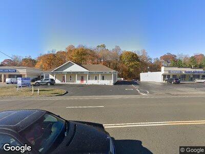
569 Boston Post Rd Orange, CT 06477
Estimated Value: $1,001,900
--
Bed
--
Bath
4,164
Sq Ft
$241/Sq Ft
Est. Value
About This Home
This home is located at 569 Boston Post Rd, Orange, CT 06477 and is currently estimated at $1,001,900, approximately $240 per square foot. 569 Boston Post Rd is a home located in New Haven County with nearby schools including Mary L. Tracy School, Peck Place School, and Amity Middle School: Orange.
Ownership History
Date
Name
Owned For
Owner Type
Purchase Details
Closed on
Aug 11, 1999
Sold by
Est Roettger Karl H and Baron Henry
Bought by
Boston Post Rd Llc
Current Estimated Value
Home Financials for this Owner
Home Financials are based on the most recent Mortgage that was taken out on this home.
Original Mortgage
$300,000
Interest Rate
8%
Mortgage Type
Commercial
Create a Home Valuation Report for This Property
The Home Valuation Report is an in-depth analysis detailing your home's value as well as a comparison with similar homes in the area
Home Values in the Area
Average Home Value in this Area
Purchase History
| Date | Buyer | Sale Price | Title Company |
|---|---|---|---|
| Boston Post Rd Llc | $350,000 | -- | |
| Boston Post Rd Llc | $350,000 | -- |
Source: Public Records
Mortgage History
| Date | Status | Borrower | Loan Amount |
|---|---|---|---|
| Open | 569 Boston Post Road L | $332,000 | |
| Closed | Roettger Karl H | $492,000 | |
| Closed | Roettger Karl H | $375,000 | |
| Closed | Roettger Karl H | $300,000 |
Source: Public Records
Tax History Compared to Growth
Tax History
| Year | Tax Paid | Tax Assessment Tax Assessment Total Assessment is a certain percentage of the fair market value that is determined by local assessors to be the total taxable value of land and additions on the property. | Land | Improvement |
|---|---|---|---|---|
| 2024 | $13,479 | $434,800 | $185,500 | $249,300 |
| 2023 | $12,249 | $379,100 | $185,500 | $193,600 |
| 2022 | $12,400 | $379,100 | $185,500 | $193,600 |
| 2021 | $6,362 | $379,100 | $185,500 | $193,600 |
| 2020 | $12,412 | $379,100 | $185,500 | $193,600 |
| 2019 | $6,362 | $379,100 | $185,500 | $193,600 |
| 2018 | $12,131 | $379,100 | $185,500 | $193,600 |
| 2017 | $6,438 | $359,100 | $181,800 | $177,300 |
| 2016 | $11,563 | $359,100 | $181,800 | $177,300 |
| 2015 | $11,276 | $359,100 | $181,800 | $177,300 |
| 2014 | $10,953 | $359,100 | $181,800 | $177,300 |
Source: Public Records
Map
Nearby Homes
- 29 Rosebrook Rd
- 35 Ardmore Rd
- 226 Wilson Rd
- 311 Woodruff Rd
- 16 Caroline Dr
- 36 Green Meadow Rd
- 40 Red Cedar Cir
- 109 Green Meadow Rd
- 575 Swanson Crescent Unit 575
- 578 Swanson Crescent
- 298 Karen Dr
- 75 Branca Ct Unit 75
- 1 Barn Ln
- 217 Foxwood Ln
- 9 Turtle Ln
- 39 McQuillan Dr
- 159 Old Tavern Rd
- 7 Julia Ct
- 394 Timberlane Dr
- 7 Brett Cliff Rd