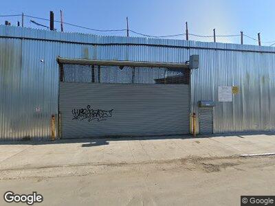
620 Truxton St Bronx, NY 10474
Hunts Point NeighborhoodEstimated Value: $2,279,386
--
Bed
--
Bath
--
Sq Ft
0.33
Acres
About This Home
This home is located at 620 Truxton St, Bronx, NY 10474 and is currently estimated at $2,279,386. 620 Truxton St is a home located in Bronx County with nearby schools including P.S. 48 - Joseph R. Drake, Bronx Academy for Multi-Media, and Girls Preparatory Charter School of the Bronx.
Ownership History
Date
Name
Owned For
Owner Type
Purchase Details
Closed on
Jul 25, 2014
Sold by
The Kids Waterfront Corp
Bought by
620 Truxton Street Llc
Current Estimated Value
Purchase Details
Closed on
Sep 12, 2013
Sold by
Nicky V Llc
Bought by
The Kids Waterfront Corp
Purchase Details
Closed on
Feb 14, 2013
Sold by
Waste Management Of New York Llc
Bought by
Nicky V Llc
Purchase Details
Closed on
Sep 17, 1998
Sold by
Rogener Raymond A and Rogener Ann Marie
Bought by
Waste Management Of New York Llc
Create a Home Valuation Report for This Property
The Home Valuation Report is an in-depth analysis detailing your home's value as well as a comparison with similar homes in the area
Home Values in the Area
Average Home Value in this Area
Purchase History
| Date | Buyer | Sale Price | Title Company |
|---|---|---|---|
| 620 Truxton Street Llc | $1,248,646 | -- | |
| The Kids Waterfront Corp | $748,646 | -- | |
| Nicky V Llc | $693,576 | -- | |
| Waste Management Of New York Llc | $195,000 | Globe Title Agency |
Source: Public Records
Tax History Compared to Growth
Tax History
| Year | Tax Paid | Tax Assessment Tax Assessment Total Assessment is a certain percentage of the fair market value that is determined by local assessors to be the total taxable value of land and additions on the property. | Land | Improvement |
|---|---|---|---|---|
| 2024 | $32,123 | $303,280 | $303,280 | $0 |
| 2023 | $32,174 | $302,220 | $302,220 | $0 |
| 2022 | $31,671 | $310,500 | $310,500 | $0 |
| 2021 | $30,751 | $301,500 | $301,500 | $0 |
| 2020 | $29,588 | $292,500 | $292,500 | $0 |
| 2019 | $28,842 | $283,950 | $283,950 | $0 |
| 2018 | $28,000 | $283,950 | $283,950 | $0 |
| 2017 | $27,035 | $275,850 | $275,850 | $0 |
| 2016 | $26,390 | $267,750 | $267,750 | $0 |
| 2015 | $17,222 | $260,100 | $260,100 | $0 |
| 2014 | $17,222 | $243,900 | $243,900 | $0 |
Source: Public Records
Map
Nearby Homes
- 633 Barretto St
- 526 Barretto St
- 664 Manida St
- 631 Coster St
- 1027 Leggett Ave Unit 1D
- 814 Fox St
- 715 Fox St Unit 4G
- 715 Fox St Unit 3B
- 1290 Lafayette Ave Unit 5F
- 720 Beck St
- 811 Fox St Unit 4B
- 1023 Avenue Saint John Unit 2B
- 822 Faile St
- 1321 Lafayette Ave
- 825 Longfellow Ave
- 776 Hewitt Place
- 890 Faile St
- 610 Union Ave
- 853 Macy Place Unit 3E
- 823 E 147th St Unit 26