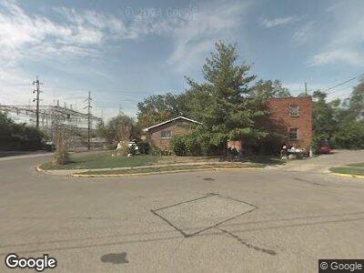
6601 Hasler Ln Cincinnati, OH 45216
Carthage NeighborhoodEstimated Value: $156,000 - $1,156,000
3
Beds
2
Baths
1,952
Sq Ft
$271/Sq Ft
Est. Value
About This Home
This home is located at 6601 Hasler Ln, Cincinnati, OH 45216 and is currently estimated at $529,332, approximately $271 per square foot. 6601 Hasler Ln is a home located in Hamilton County with nearby schools including Elmwood Place Elementary School, St Bernard-Elmwood Place High School, and Regeneration Bond Hill.
Ownership History
Date
Name
Owned For
Owner Type
Purchase Details
Closed on
Mar 1, 2024
Sold by
Royal Michael Ray and Royal Marian
Bought by
Hasler Lane Ii Llc
Current Estimated Value
Create a Home Valuation Report for This Property
The Home Valuation Report is an in-depth analysis detailing your home's value as well as a comparison with similar homes in the area
Home Values in the Area
Average Home Value in this Area
Purchase History
| Date | Buyer | Sale Price | Title Company |
|---|---|---|---|
| Hasler Lane Ii Llc | -- | None Listed On Document |
Source: Public Records
Mortgage History
| Date | Status | Borrower | Loan Amount |
|---|---|---|---|
| Previous Owner | Royal Michael Ray | $114,950 | |
| Previous Owner | Royal Michael R | $110,700 | |
| Previous Owner | Royal Michael Ray | $108,000 |
Source: Public Records
Tax History Compared to Growth
Tax History
| Year | Tax Paid | Tax Assessment Tax Assessment Total Assessment is a certain percentage of the fair market value that is determined by local assessors to be the total taxable value of land and additions on the property. | Land | Improvement |
|---|---|---|---|---|
| 2024 | $2,423 | $36,149 | $4,330 | $31,819 |
| 2023 | $2,518 | $36,149 | $4,330 | $31,819 |
| 2022 | $1,976 | $20,868 | $3,462 | $17,406 |
| 2021 | $1,752 | $20,868 | $3,462 | $17,406 |
| 2020 | $1,742 | $20,868 | $3,462 | $17,406 |
| 2019 | $1,865 | $20,868 | $3,462 | $17,406 |
| 2018 | $1,893 | $20,868 | $3,462 | $17,406 |
| 2017 | $1,759 | $20,868 | $3,462 | $17,406 |
| 2016 | $2,128 | $25,428 | $3,983 | $21,445 |
| 2015 | $2,013 | $25,428 | $3,983 | $21,445 |
| 2014 | $2,013 | $25,428 | $3,983 | $21,445 |
| 2013 | $2,132 | $27,640 | $4,330 | $23,310 |
Source: Public Records
Map
Nearby Homes
- 6611 Vine St
- 17 Poplar St
- 6106 Sycamore St
- 112 W 65th St
- 503 Oak St
- 1139 Towanda Terrace
- 6811 Van Kirk Ave
- 18 Township Ave
- 1148 Elm Park Dr
- 6404 Rosewood St
- 222 W 68th St
- 5632 Chestnut St
- 409 Linden St
- 523 Walnut St
- 6014 Mcgregor Ave
- 215 W Seymour Ave
- 1215 Laidlaw Ave
- 1303 Regent Ave
- 1305 Regent Ave
- 4902 Paddock Rd