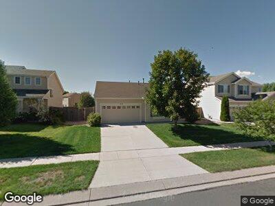
675 Prairie Star Cir Colorado Springs, CO 80916
Gateway Park NeighborhoodEstimated Value: $365,741 - $398,000
2
Beds
2
Baths
1,295
Sq Ft
$298/Sq Ft
Est. Value
About This Home
This home is located at 675 Prairie Star Cir, Colorado Springs, CO 80916 and is currently estimated at $386,435, approximately $298 per square foot. 675 Prairie Star Cir is a home located in El Paso County with nearby schools including Sand Creek Elementary School, Panorama Middle School, and Sierra High School.
Ownership History
Date
Name
Owned For
Owner Type
Purchase Details
Closed on
Oct 19, 2022
Sold by
Barnes Sharon M
Bought by
Barnes Family Trust
Current Estimated Value
Purchase Details
Closed on
Jul 21, 2000
Sold by
Richmond American Homes Of Colorado Inc
Bought by
Barnes Quentin L and Barnes Sharon M
Home Financials for this Owner
Home Financials are based on the most recent Mortgage that was taken out on this home.
Original Mortgage
$118,724
Interest Rate
8.23%
Mortgage Type
VA
Create a Home Valuation Report for This Property
The Home Valuation Report is an in-depth analysis detailing your home's value as well as a comparison with similar homes in the area
Home Values in the Area
Average Home Value in this Area
Purchase History
| Date | Buyer | Sale Price | Title Company |
|---|---|---|---|
| Barnes Family Trust | -- | -- | |
| Barnes Quentin L | $127,970 | Stewart Title |
Source: Public Records
Mortgage History
| Date | Status | Borrower | Loan Amount |
|---|---|---|---|
| Previous Owner | Barnes Quentin L | $122,066 | |
| Previous Owner | Barnes Quentin L | $122,010 | |
| Previous Owner | Barnes Quentin L | $118,724 |
Source: Public Records
Tax History Compared to Growth
Tax History
| Year | Tax Paid | Tax Assessment Tax Assessment Total Assessment is a certain percentage of the fair market value that is determined by local assessors to be the total taxable value of land and additions on the property. | Land | Improvement |
|---|---|---|---|---|
| 2024 | $726 | $27,140 | $4,210 | $22,930 |
| 2023 | $726 | $27,140 | $4,210 | $22,930 |
| 2022 | $1,005 | $18,640 | $4,000 | $14,640 |
| 2021 | $1,073 | $19,170 | $4,110 | $15,060 |
| 2020 | $961 | $14,750 | $2,880 | $11,870 |
| 2019 | $932 | $14,750 | $2,880 | $11,870 |
| 2018 | $751 | $11,450 | $2,250 | $9,200 |
| 2017 | $574 | $11,450 | $2,250 | $9,200 |
| 2016 | $606 | $11,360 | $2,290 | $9,070 |
| 2015 | $606 | $11,360 | $2,290 | $9,070 |
| 2014 | $583 | $10,790 | $2,290 | $8,500 |
Source: Public Records
Map
Nearby Homes
- 5260 Mountain Air Cir
- 4210 Vernal Cir
- 5208 Mountain Air Cir
- 4920 Universal Heights Unit 44
- 4171 Brush Creek Rd
- 4997 Leland Point Unit 187
- 332 Ellers Grove Unit 136
- 4211 Coolwater Dr
- 272 Ellers Grove Unit 128
- 4907 Leland Point Unit 167
- 5002 Nolte Dr N
- 839 Hoosier Dr
- 5336 Blair View
- 4962 Cita Dr
- 775 Riverview Ln
- 4946 Cita Dr
- 771 Hailey Glenn View
- 815 Riverview Ln
- 4751 Canyon Wren Ln
- 735 Aspenglow Ln