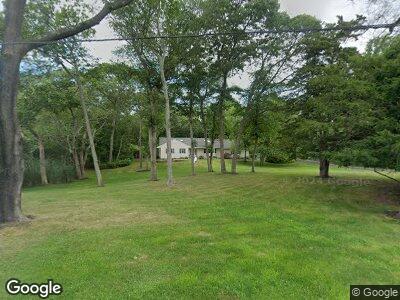
7 Rogers Ave Bellport, NY 11713
Bellport NeighborhoodEstimated Value: $1,140,551 - $2,164,000
3
Beds
2
Baths
1,577
Sq Ft
$1,092/Sq Ft
Est. Value
About This Home
This home is located at 7 Rogers Ave, Bellport, NY 11713 and is currently estimated at $1,722,638, approximately $1,092 per square foot. 7 Rogers Ave is a home located in Suffolk County with nearby schools including Frank P Long Intermediate School, Bellport Middle School, and Bellport Senior High School.
Ownership History
Date
Name
Owned For
Owner Type
Purchase Details
Closed on
Jul 31, 2015
Sold by
Carey James W and Carey Bridget Quinn
Bought by
7 Rogers Llc
Current Estimated Value
Purchase Details
Closed on
Mar 8, 2012
Sold by
Labranche Ruthann
Bought by
Carey James W and Quinn Carey Bridget
Home Financials for this Owner
Home Financials are based on the most recent Mortgage that was taken out on this home.
Original Mortgage
$480,000
Interest Rate
3.86%
Purchase Details
Closed on
Jan 21, 1994
Sold by
Abrams Ida
Bought by
Labranche Ruthann
Create a Home Valuation Report for This Property
The Home Valuation Report is an in-depth analysis detailing your home's value as well as a comparison with similar homes in the area
Home Values in the Area
Average Home Value in this Area
Purchase History
| Date | Buyer | Sale Price | Title Company |
|---|---|---|---|
| 7 Rogers Llc | $802,000 | Safe Harbor Title | |
| Carey James W | -- | Fidelity Natl Title | |
| Labranche Ruthann | $385,000 | Commonwealth Land Title Ins |
Source: Public Records
Mortgage History
| Date | Status | Borrower | Loan Amount |
|---|---|---|---|
| Previous Owner | Carey James W | $480,000 | |
| Previous Owner | Labranche Ruthann | $36,000 |
Source: Public Records
Tax History Compared to Growth
Tax History
| Year | Tax Paid | Tax Assessment Tax Assessment Total Assessment is a certain percentage of the fair market value that is determined by local assessors to be the total taxable value of land and additions on the property. | Land | Improvement |
|---|---|---|---|---|
| 2023 | $19,367 | $5,400 | $1,200 | $4,200 |
| 2022 | $17,597 | $5,400 | $1,200 | $4,200 |
| 2021 | $17,597 | $5,400 | $1,200 | $4,200 |
| 2020 | $18,243 | $5,400 | $1,200 | $4,200 |
| 2019 | $18,243 | $0 | $0 | $0 |
| 2018 | $17,233 | $5,400 | $1,200 | $4,200 |
| 2017 | $17,233 | $5,400 | $1,200 | $4,200 |
| 2016 | $16,129 | $5,400 | $1,200 | $4,200 |
| 2015 | -- | $5,400 | $1,200 | $4,200 |
| 2014 | -- | $5,400 | $1,200 | $4,200 |
Source: Public Records
Map
Nearby Homes
- 15 Peathole Ln
- 10 Peathole Ln
- 19 Oak Meadow Ln
- 14 Peat Hole Ln
- 6 Peat Hole Ln
- 50 Bellport Ln
- 14 Oak Meadow Ln
- 2 Livingston Rd
- 8 Titus Ln
- 22 Bellport Ln
- 21 General McLean Dr
- 52 S Country Rd
- 22 Bell St
- 18 Gen McLean Dr
- 165 S Country Rd
- 12 Circuit Rd
- 35 Station Rd
- 6 Woodland Park Rd
- 10 Kreamer St
- 58 N Howells Point Rd