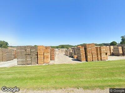
7011 State Route 39 Millersburg, OH 44654
Estimated Value: $414,000 - $622,666
3
Beds
4
Baths
2,512
Sq Ft
$217/Sq Ft
Est. Value
About This Home
This home is located at 7011 State Route 39, Millersburg, OH 44654 and is currently estimated at $544,889, approximately $216 per square foot. 7011 State Route 39 is a home located in Holmes County with nearby schools including West Holmes High School, Steam Valley Abe E. Yoder, and Cornerstone.
Ownership History
Date
Name
Owned For
Owner Type
Purchase Details
Closed on
Jan 27, 2011
Sold by
Miller Sue
Bought by
Miller Sue and Sue Miller Trust
Current Estimated Value
Purchase Details
Closed on
Jun 4, 2002
Bought by
Miller Sue
Purchase Details
Closed on
Jul 13, 2000
Bought by
Miller Alvin B and Miller Sue
Purchase Details
Closed on
Jan 1, 1990
Bought by
Miller Alvin B and Miller Sue
Create a Home Valuation Report for This Property
The Home Valuation Report is an in-depth analysis detailing your home's value as well as a comparison with similar homes in the area
Home Values in the Area
Average Home Value in this Area
Purchase History
| Date | Buyer | Sale Price | Title Company |
|---|---|---|---|
| Miller Sue | -- | None Available | |
| Miller Sue | -- | -- | |
| Miller Alvin B | -- | -- | |
| Miller Alvin B | -- | -- |
Source: Public Records
Tax History Compared to Growth
Tax History
| Year | Tax Paid | Tax Assessment Tax Assessment Total Assessment is a certain percentage of the fair market value that is determined by local assessors to be the total taxable value of land and additions on the property. | Land | Improvement |
|---|---|---|---|---|
| 2024 | $5,636 | $146,990 | $32,330 | $114,660 |
| 2023 | $5,636 | $146,990 | $32,330 | $114,660 |
| 2022 | $5,834 | $146,990 | $32,330 | $114,660 |
| 2021 | $5,212 | $122,470 | $24,850 | $97,620 |
| 2020 | $5,097 | $122,470 | $24,850 | $97,620 |
| 2019 | $4,973 | $122,470 | $24,850 | $97,620 |
| 2018 | $4,595 | $109,440 | $20,640 | $88,800 |
| 2017 | $4,592 | $109,440 | $20,640 | $88,800 |
| 2016 | $4,598 | $109,440 | $20,640 | $88,800 |
| 2015 | $3,555 | $86,060 | $11,610 | $74,450 |
| 2014 | $3,574 | $86,060 | $11,610 | $74,450 |
| 2013 | $1,867 | $86,060 | $11,610 | $74,450 |
Source: Public Records
Map
Nearby Homes
- 7345 Township Road 319
- 5341 Township Road 321
- 7387 Township Road 319
- 31 Briar Ln
- 102 Brambly Hedge Dr
- 203 Knollton Dr
- 326 E Adams St
- 284 S Alexander St
- 17 Cliff Ln
- 381 Uhl St
- 0 U S Highway 62
- 0 Parkview Dr Unit 5082010
- 216 S Clay St
- 5093 Township Road 353
- 325 N Mad Anthony St
- 138 S Washington St
- 655 Kenton Alley
- 164 N Mad Anthony St
- 7435 Township Road 129
- 7439 Township Road 129
