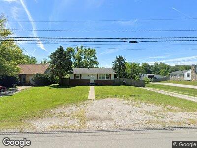
727 Louisedale Dr Fort Wayne, IN 46808
Franke Park NeighborhoodEstimated Value: $150,000 - $201,223
2
Beds
2
Baths
1,036
Sq Ft
$169/Sq Ft
Est. Value
About This Home
This home is located at 727 Louisedale Dr, Fort Wayne, IN 46808 and is currently estimated at $174,806, approximately $168 per square foot. 727 Louisedale Dr is a home located in Allen County with nearby schools including Franke Park Elementary School, Northwood Middle School, and North Side High School.
Ownership History
Date
Name
Owned For
Owner Type
Purchase Details
Closed on
Nov 7, 2017
Sold by
Mccomb David F and Mccomb Margo L
Bought by
Doerschler John H
Current Estimated Value
Home Financials for this Owner
Home Financials are based on the most recent Mortgage that was taken out on this home.
Original Mortgage
$70,000
Outstanding Balance
$41,888
Interest Rate
3.83%
Mortgage Type
New Conventional
Estimated Equity
$131,242
Purchase Details
Closed on
Sep 26, 2016
Sold by
Mccomb David F and Mccomb Margo L
Bought by
Mccomb David F and Mccomb Margo L
Purchase Details
Closed on
Sep 20, 2004
Sold by
Mccomb Joseph S and Mccomb Linda
Bought by
Mccomb David F and Mccomb Margo L
Create a Home Valuation Report for This Property
The Home Valuation Report is an in-depth analysis detailing your home's value as well as a comparison with similar homes in the area
Home Values in the Area
Average Home Value in this Area
Purchase History
| Date | Buyer | Sale Price | Title Company |
|---|---|---|---|
| Doerschler John H | $78,000 | Fidelity Natl Title Co Llc | |
| Mccomb David F | -- | None Available | |
| Mccomb David F | -- | -- |
Source: Public Records
Mortgage History
| Date | Status | Borrower | Loan Amount |
|---|---|---|---|
| Open | Doerschler John H | $10,000 | |
| Open | Doerschler John H | $70,000 |
Source: Public Records
Tax History Compared to Growth
Tax History
| Year | Tax Paid | Tax Assessment Tax Assessment Total Assessment is a certain percentage of the fair market value that is determined by local assessors to be the total taxable value of land and additions on the property. | Land | Improvement |
|---|---|---|---|---|
| 2024 | $1,772 | $179,000 | $14,600 | $164,400 |
| 2023 | $1,772 | $169,500 | $14,600 | $154,900 |
| 2022 | $1,529 | $141,900 | $14,600 | $127,300 |
| 2021 | $1,163 | $115,600 | $14,600 | $101,000 |
| 2020 | $824 | $95,800 | $14,600 | $81,200 |
| 2019 | $733 | $89,200 | $14,600 | $74,600 |
| 2018 | $982 | $101,800 | $14,600 | $87,200 |
| 2017 | $895 | $95,400 | $14,600 | $80,800 |
| 2016 | $389 | $49,400 | $7,900 | $41,500 |
| 2014 | $1,023 | $49,200 | $9,000 | $40,200 |
| 2013 | $1,003 | $48,300 | $8,300 | $40,000 |
Source: Public Records
Map
Nearby Homes
- 3353 Garland Ave
- 935 Elmer Ave
- 2927 Westbrook Dr Unit B-108
- 0 Sherman Blvd
- 0 Council Dr
- 810 Lincoln Ct
- 2510 Greenway Rd
- 3521 Spy Run Hill Dr
- 2502 Sherman Blvd
- 324 Field St
- 538 Clayton Ave
- 2707 N Clinton St
- 2704 N Clinton St
- 657 W State Blvd
- 615 W State Blvd
- 2505 Stanford Ave
- 657 Florence Ave
- 2620 Coliseum Blvd W
- 514 Charlotte Ave
- 1406 Rosemont Dr