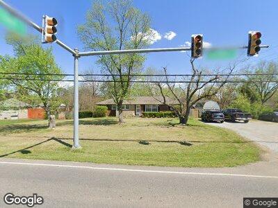
801 Hazelwood Dr Smyrna, TN 37167
Estimated Value: $315,296 - $370,000
--
Bed
2
Baths
1,603
Sq Ft
$216/Sq Ft
Est. Value
About This Home
This home is located at 801 Hazelwood Dr, Smyrna, TN 37167 and is currently estimated at $346,824, approximately $216 per square foot. 801 Hazelwood Dr is a home located in Rutherford County with nearby schools including Smyrna Primary School, Smyrna Middle School, and Smyrna High School.
Ownership History
Date
Name
Owned For
Owner Type
Purchase Details
Closed on
Apr 22, 2004
Sold by
King Jeffrey J and King Donna J
Bought by
Burkett Stephen P and Burkett Licia M
Current Estimated Value
Home Financials for this Owner
Home Financials are based on the most recent Mortgage that was taken out on this home.
Original Mortgage
$78,850
Interest Rate
5.35%
Purchase Details
Closed on
Aug 8, 1997
Sold by
Joyce King Marcia
Bought by
King and Donna
Create a Home Valuation Report for This Property
The Home Valuation Report is an in-depth analysis detailing your home's value as well as a comparison with similar homes in the area
Home Values in the Area
Average Home Value in this Area
Purchase History
| Date | Buyer | Sale Price | Title Company |
|---|---|---|---|
| Burkett Stephen P | $83,000 | -- | |
| King | -- | -- |
Source: Public Records
Mortgage History
| Date | Status | Borrower | Loan Amount |
|---|---|---|---|
| Open | Burkett Stephen P | $112,200 | |
| Closed | Burkett Stephen P | $49,000 | |
| Closed | King | $78,850 | |
| Previous Owner | King Jeffrey K | $8,500 | |
| Previous Owner | King Jeffrey K | $18,332 |
Source: Public Records
Tax History Compared to Growth
Tax History
| Year | Tax Paid | Tax Assessment Tax Assessment Total Assessment is a certain percentage of the fair market value that is determined by local assessors to be the total taxable value of land and additions on the property. | Land | Improvement |
|---|---|---|---|---|
| 2024 | $1,584 | $65,925 | $13,750 | $52,175 |
| 2023 | $1,595 | $66,425 | $13,750 | $52,675 |
| 2022 | $1,423 | $66,425 | $13,750 | $52,675 |
| 2021 | $1,309 | $44,825 | $8,750 | $36,075 |
| 2020 | $1,309 | $44,825 | $8,750 | $36,075 |
| 2019 | $1,309 | $44,825 | $8,750 | $36,075 |
| 2018 | $1,255 | $44,825 | $0 | $0 |
| 2017 | $1,089 | $30,550 | $0 | $0 |
| 2016 | $1,089 | $30,550 | $0 | $0 |
| 2015 | $1,089 | $30,550 | $0 | $0 |
| 2014 | $760 | $30,550 | $0 | $0 |
| 2013 | -- | $26,375 | $0 | $0 |
Source: Public Records
Map
Nearby Homes
- 101 Hankins Dr
- 1529 Repton Rd
- 465 Grey Ghost Way
- 317 Camargue Ct
- 516 Little Penny Dr
- 520 Little Penny Dr
- 208 W Hutchinson Dr
- 212 W Hutchinson Dr
- 205 Belaire Dr
- 203 Ha Le Koa Ct
- 205 Ha Le Koa Ct
- 206 Bane Dr
- 100 Woodland Dr
- 304 Belaire Dr
- 104 Kent St
- 139 Bailey Collins Dr
- 3020 Denny Brooke Ln
- 101 Walnut St
- 710 Belaire Dr
- 416 Gooding Blvd