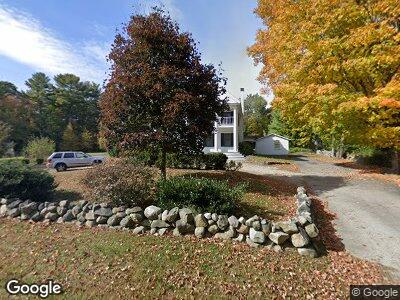
81 Jacobs Ln Norwell, MA 02061
Estimated Value: $830,000 - $1,525,000
4
Beds
3
Baths
3,704
Sq Ft
$337/Sq Ft
Est. Value
About This Home
This home is located at 81 Jacobs Ln, Norwell, MA 02061 and is currently estimated at $1,247,555, approximately $336 per square foot. 81 Jacobs Ln is a home located in Plymouth County with nearby schools including Grace Farrar Cole Elementary School, Norwell Middle School, and Norwell High School.
Ownership History
Date
Name
Owned For
Owner Type
Purchase Details
Closed on
Dec 19, 2003
Sold by
Odonnell Robert L
Bought by
Greene Brendan J and Greene Anne O
Current Estimated Value
Purchase Details
Closed on
Jul 7, 2000
Sold by
Atkinson Margaret M
Bought by
Mcdonough Lawrence J
Purchase Details
Closed on
Jun 26, 1998
Sold by
Campbell John Est
Bought by
Atkinson Margaret M
Create a Home Valuation Report for This Property
The Home Valuation Report is an in-depth analysis detailing your home's value as well as a comparison with similar homes in the area
Home Values in the Area
Average Home Value in this Area
Purchase History
| Date | Buyer | Sale Price | Title Company |
|---|---|---|---|
| Greene Brendan J | $680,000 | -- | |
| Odonnell Robert L | $605,000 | -- | |
| Mcdonough Lawrence J | $545,000 | -- | |
| Atkinson Margaret M | $370,000 | -- |
Source: Public Records
Mortgage History
| Date | Status | Borrower | Loan Amount |
|---|---|---|---|
| Open | Greene Brendan J | $540,000 | |
| Closed | Greene Brendan J | $476,000 | |
| Closed | Greene Brendan J | $100,000 | |
| Closed | Greene Brendan J | $557,000 | |
| Closed | Atkinson Margaret M | $570,000 | |
| Closed | Atkinson Margaret M | $72,000 |
Source: Public Records
Tax History Compared to Growth
Tax History
| Year | Tax Paid | Tax Assessment Tax Assessment Total Assessment is a certain percentage of the fair market value that is determined by local assessors to be the total taxable value of land and additions on the property. | Land | Improvement |
|---|---|---|---|---|
| 2025 | $14,960 | $1,144,600 | $539,000 | $605,600 |
| 2024 | $14,993 | $1,113,900 | $508,600 | $605,300 |
| 2023 | $12,827 | $838,900 | $260,800 | $578,100 |
| 2022 | $13,218 | $795,300 | $277,500 | $517,800 |
| 2021 | $5,804 | $719,300 | $291,900 | $427,400 |
| 2020 | $11,801 | $709,600 | $297,200 | $412,400 |
| 2019 | $3,926 | $806,100 | $318,400 | $487,700 |
| 2018 | $5,692 | $758,000 | $291,900 | $466,100 |
| 2017 | $2,787 | $665,900 | $291,900 | $374,000 |
| 2016 | $10,987 | $665,900 | $291,900 | $374,000 |
| 2015 | $11,253 | $682,000 | $291,900 | $390,100 |
| 2014 | $11,398 | $696,300 | $306,200 | $390,100 |
Source: Public Records
Map
Nearby Homes
- 7 Assinippi Ave Unit 207
- 225 Prospect St
- 7 Schooner Way
- 251 Prospect St
- 433 Grove St
- 120 South St
- 16 Lantern Ln
- 22 Woodbine Cir
- 239 Washington St Unit 16
- 239 Washington St Unit 9
- 239 Washington St Unit 24
- 1 Hawthorne Ln
- 164 Grove St
- 158 Grove St
- 179 Lincoln St
- 223 High St
- 231 Manns Dr
- 20 Simmons Rd
- 462 Mount Blue St
- 39 Davis St