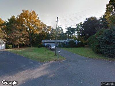
9 Harvest Ln Farmington, CT 06032
Farmington NeighborhoodEstimated Value: $352,000 - $425,000
3
Beds
2
Baths
1,189
Sq Ft
$320/Sq Ft
Est. Value
About This Home
This home is located at 9 Harvest Ln, Farmington, CT 06032 and is currently estimated at $380,300, approximately $319 per square foot. 9 Harvest Ln is a home located in Hartford County with nearby schools including West Woods Upper Elementary School, Noah Wallace School, and Irving A. Robbins Middle School.
Ownership History
Date
Name
Owned For
Owner Type
Purchase Details
Closed on
Mar 30, 2007
Sold by
Phyllis R Wysocki T and Larosa Marilyn A
Bought by
John Stanley and John Anita
Current Estimated Value
Home Financials for this Owner
Home Financials are based on the most recent Mortgage that was taken out on this home.
Original Mortgage
$202,400
Interest Rate
6.33%
Create a Home Valuation Report for This Property
The Home Valuation Report is an in-depth analysis detailing your home's value as well as a comparison with similar homes in the area
Home Values in the Area
Average Home Value in this Area
Purchase History
| Date | Buyer | Sale Price | Title Company |
|---|---|---|---|
| John Stanley | $253,000 | -- |
Source: Public Records
Mortgage History
| Date | Status | Borrower | Loan Amount |
|---|---|---|---|
| Open | John Stanley | $187,000 | |
| Closed | John Stanley | $221,350 | |
| Closed | John Stanley | $202,400 | |
| Closed | John Stanley | $25,300 |
Source: Public Records
Tax History Compared to Growth
Tax History
| Year | Tax Paid | Tax Assessment Tax Assessment Total Assessment is a certain percentage of the fair market value that is determined by local assessors to be the total taxable value of land and additions on the property. | Land | Improvement |
|---|---|---|---|---|
| 2024 | $5,109 | $200,760 | $84,700 | $116,060 |
| 2023 | $4,860 | $200,760 | $84,700 | $116,060 |
| 2022 | $4,789 | $163,330 | $73,700 | $89,630 |
| 2021 | $4,706 | $163,330 | $73,700 | $89,630 |
| 2020 | $4,568 | $163,330 | $73,700 | $89,630 |
| 2019 | $4,568 | $163,330 | $73,700 | $89,630 |
| 2018 | $4,439 | $163,330 | $73,700 | $89,630 |
| 2017 | $4,244 | $159,080 | $73,500 | $85,580 |
| 2016 | $4,101 | $159,080 | $73,500 | $85,580 |
| 2015 | $3,979 | $159,080 | $73,500 | $85,580 |
| 2014 | $3,888 | $159,090 | $73,500 | $85,590 |
Source: Public Records
Map
Nearby Homes
- 69 Northwest Dr Unit 21
- 69 Northwest Dr Unit 60
- 2 Bernice Ct
- 23 Bel Aire Dr
- 29 Maxine Rd
- 3 Cardinal Dr
- 8 Johnson Ave
- 11 Peggy Ln
- 0 Overlook Dr Unit Lots 3 & 4 24070863
- 0 Overlook Dr Unit Lot 4 24070859
- 0 Overlook Dr Unit Lot 3 24070862
- 1469 Farmington Ave Unit 63
- 135 Anthony Dr
- 2 Dominics Ct Unit 2
- 2 Cope Farms Rd
- 55 Sims Rd
- 27 Oakwood Cir Unit 8
- 57 Oakwood Cir
- 6 Tillage Ct
- 222 Westwoods Terrace