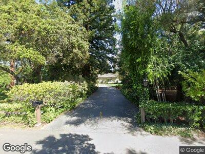
90 Catalpa Dr Atherton, CA 94027
Lindenwood NeighborhoodEstimated Value: $6,066,000 - $6,550,751
4
Beds
4
Baths
3,670
Sq Ft
$1,721/Sq Ft
Est. Value
About This Home
This home is located at 90 Catalpa Dr, Atherton, CA 94027 and is currently estimated at $6,314,938, approximately $1,720 per square foot. 90 Catalpa Dr is a home located in San Mateo County with nearby schools including Encinal Elementary School, Hillview Middle School, and Menlo-Atherton High School.
Ownership History
Date
Name
Owned For
Owner Type
Purchase Details
Closed on
Feb 23, 2022
Sold by
Oettinger 1979 Revocable Trust
Bought by
Una Oettinger Family Trust
Current Estimated Value
Create a Home Valuation Report for This Property
The Home Valuation Report is an in-depth analysis detailing your home's value as well as a comparison with similar homes in the area
Home Values in the Area
Average Home Value in this Area
Purchase History
| Date | Buyer | Sale Price | Title Company |
|---|---|---|---|
| Una Oettinger Family Trust | -- | Law Offices Of Kenneth H Horow |
Source: Public Records
Mortgage History
| Date | Status | Borrower | Loan Amount |
|---|---|---|---|
| Previous Owner | Oettinger John R | $3,300,000 | |
| Previous Owner | Oettinger John R | $1,000,000 | |
| Previous Owner | Oettinger John R | $2,010,000 | |
| Previous Owner | Oettinger John R | $720,000 | |
| Previous Owner | Oettinger John R | $730,000 | |
| Previous Owner | Oettinger John R | $1,550,000 | |
| Previous Owner | Oettinger John R | $721,000 | |
| Previous Owner | Oettinger John R | $600,000 | |
| Previous Owner | Oettinger John T | $150,000 |
Source: Public Records
Tax History Compared to Growth
Tax History
| Year | Tax Paid | Tax Assessment Tax Assessment Total Assessment is a certain percentage of the fair market value that is determined by local assessors to be the total taxable value of land and additions on the property. | Land | Improvement |
|---|---|---|---|---|
| 2023 | $5,835 | $407,907 | $143,027 | $264,880 |
| 2022 | $5,558 | $399,910 | $140,223 | $259,687 |
| 2021 | $5,472 | $392,070 | $137,474 | $254,596 |
| 2020 | $5,410 | $388,051 | $136,065 | $251,986 |
| 2019 | $5,315 | $380,444 | $133,398 | $247,046 |
| 2018 | $5,165 | $372,985 | $130,783 | $242,202 |
| 2017 | $5,806 | $365,672 | $128,219 | $237,453 |
| 2016 | $5,670 | $358,503 | $125,705 | $232,798 |
| 2015 | $6,433 | $353,119 | $123,817 | $229,302 |
| 2014 | $6,265 | $346,203 | $121,392 | $224,811 |
Source: Public Records
Map
Nearby Homes
- 37 Lupin Ln
- 264 Bay Rd
- 295 Bay Rd
- 928 Peggy Ln
- 279 Oakhurst Place
- 139 Hedge Rd
- 183 Hedge Rd
- 2 Lane Place
- 3755 Bay Rd
- 662 Berkeley Ave
- 208 Ravenswood Ave
- 127 Newbridge St
- 219 Terminal Ave
- 824 Fourteenth Ave
- 1035 Henderson Ave
- 501 & 503 Pierce Rd
- 1110 Almanor Ave
- 1116 17th Ave
- 378 Felton Dr
- 74 Middlefield Rd
