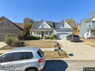
9699 Rookwood Cir Ooltewah, TN 37363
Collegedale NeighborhoodEstimated Value: $468,960 - $572,000
4
Beds
3
Baths
2,400
Sq Ft
$213/Sq Ft
Est. Value
About This Home
This home is located at 9699 Rookwood Cir, Ooltewah, TN 37363 and is currently estimated at $511,990, approximately $213 per square foot. 9699 Rookwood Cir is a home located in Hamilton County with nearby schools including Wolftever Creek Elementary School, Ooltewah Middle School, and Ooltewah High School.
Ownership History
Date
Name
Owned For
Owner Type
Purchase Details
Closed on
Nov 12, 2010
Sold by
Waters Brandon and Waters Holland
Bought by
Ratchford Jacob and Ratchford Amy
Current Estimated Value
Home Financials for this Owner
Home Financials are based on the most recent Mortgage that was taken out on this home.
Original Mortgage
$265,030
Interest Rate
4.25%
Mortgage Type
FHA
Purchase Details
Closed on
Jul 9, 2010
Sold by
Realty Innovations Llc
Bought by
Waters Brandon and Waters Holland
Create a Home Valuation Report for This Property
The Home Valuation Report is an in-depth analysis detailing your home's value as well as a comparison with similar homes in the area
Home Values in the Area
Average Home Value in this Area
Purchase History
| Date | Buyer | Sale Price | Title Company |
|---|---|---|---|
| Ratchford Jacob | $268,600 | None Available | |
| Waters Brandon | $50,000 | First Title |
Source: Public Records
Mortgage History
| Date | Status | Borrower | Loan Amount |
|---|---|---|---|
| Open | Ratchford Jacob Scott | $291,000 | |
| Closed | Ratchford Jacob Scott | $288,000 | |
| Closed | Ratchford Jacob | $248,200 | |
| Closed | Ratchford Jacob | $265,030 |
Source: Public Records
Tax History Compared to Growth
Tax History
| Year | Tax Paid | Tax Assessment Tax Assessment Total Assessment is a certain percentage of the fair market value that is determined by local assessors to be the total taxable value of land and additions on the property. | Land | Improvement |
|---|---|---|---|---|
| 2024 | $1,713 | $76,575 | $0 | $0 |
| 2023 | $2,909 | $76,575 | $0 | $0 |
| 2022 | $2,786 | $76,575 | $0 | $0 |
| 2021 | $2,786 | $76,575 | $0 | $0 |
| 2020 | $2,961 | $66,850 | $0 | $0 |
| 2019 | $2,961 | $66,850 | $0 | $0 |
| 2018 | $2,699 | $66,850 | $0 | $0 |
| 2017 | $2,699 | $66,850 | $0 | $0 |
| 2016 | $2,724 | $0 | $0 | $0 |
| 2015 | $2,724 | $65,625 | $0 | $0 |
| 2014 | $2,724 | $0 | $0 | $0 |
Source: Public Records
Map
Nearby Homes
- 5059 Wellesley Dr
- 4788 Wellesley Dr
- 4772 Wellesley Dr
- 9684 Chaucer Terrace
- 9672 Wiltshire Dr
- 9629 Wiltshire Dr Unit II
- 5015 Wellesley Dr
- 4193 Barnsley Loop
- 4199 Barnsley Loop
- 9295 Scarlet Ridge Rd
- 5040 Wellesley Dr
- 4129 Barnsley Loop
- 9630 Dutton Ln
- 9614 Mulberry Gap Way
- 4058 Barnsley Loop
- 9686 Dutton Ln
- 4566 Wellesley Dr
- 9694 Dutton Ln
- 4053 Barnsley Loop
- 9891 Trestle Cir