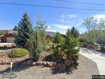
987 W Sierra Brooks Dr Sierra Brooks, CA 96118
Estimated Value: $442,000 - $531,801
3
Beds
3
Baths
2,192
Sq Ft
$224/Sq Ft
Est. Value
About This Home
This home is located at 987 W Sierra Brooks Dr, Sierra Brooks, CA 96118 and is currently estimated at $491,950, approximately $224 per square foot. 987 W Sierra Brooks Dr is a home.
Ownership History
Date
Name
Owned For
Owner Type
Purchase Details
Closed on
Sep 7, 2005
Sold by
Macey Robert L and Macey Pamela D
Bought by
Thompson George and Thompson Nancy
Current Estimated Value
Purchase Details
Closed on
Mar 17, 2004
Sold by
Anderson Frank J and Anderson Iris M
Bought by
Macey Robert L and Macey Pamela D
Purchase Details
Closed on
Oct 31, 2002
Sold by
Anderson Frank J and Anderson Iris M
Bought by
Anderson Frank J and Anderson Iris M
Create a Home Valuation Report for This Property
The Home Valuation Report is an in-depth analysis detailing your home's value as well as a comparison with similar homes in the area
Home Values in the Area
Average Home Value in this Area
Purchase History
| Date | Buyer | Sale Price | Title Company |
|---|---|---|---|
| Thompson George | $412,000 | United Independent Title Ins | |
| Macey Robert L | $33,500 | Inter County Title Co Nevada | |
| Anderson Frank J | -- | -- |
Source: Public Records
Mortgage History
| Date | Status | Borrower | Loan Amount |
|---|---|---|---|
| Open | Thompson George | $427,500 | |
| Closed | Thompson George | $70,000 | |
| Closed | Thompson George L | $100,000 |
Source: Public Records
Tax History Compared to Growth
Tax History
| Year | Tax Paid | Tax Assessment Tax Assessment Total Assessment is a certain percentage of the fair market value that is determined by local assessors to be the total taxable value of land and additions on the property. | Land | Improvement |
|---|---|---|---|---|
| 2023 | $5,489 | $470,000 | $45,000 | $425,000 |
| 2022 | $4,994 | $400,000 | $30,000 | $370,000 |
| 2021 | $4,650 | $375,000 | $30,000 | $345,000 |
| 2020 | $4,401 | $350,000 | $20,000 | $330,000 |
| 2019 | $4,508 | $350,000 | $20,000 | $330,000 |
| 2018 | $4,733 | $395,000 | $25,000 | $370,000 |
| 2017 | $3,703 | $295,000 | $25,000 | $270,000 |
| 2016 | $3,011 | $230,000 | $20,000 | $210,000 |
| 2015 | $2,673 | $205,000 | $20,000 | $185,000 |
| 2014 | $2,450 | $190,000 | $25,000 | $165,000 |
Source: Public Records
Map
Nearby Homes
- 545 Longhorn Dr
- 704 Roundup Dr
- 12 (?) Wrangler Dr
- 143 Smithneck Rd
- 514 Longhorn Dr
- 171 Smithneck Rd
- 317 Wrangler Dr
- 702 School St
- 513 Main St
- 410 4th St
- 163 Smithneck Rd
- 155 Smithneck Rd
- 0 Non Disclosed None Unit 324069956
- 200 E Main St
- 7555 California 89
- 7960 Litov Ct
- 6200 Road A23 Unit 6200 WESTSIDE ROAD.
- 6200 Westside Rd
- 547 Conestoga Dr
- T20 R18 S18 Long Valley Rd