1235 Hogansville Rd Lagrange, GA 30241
--
Bed
--
Bath
3,798
Sq Ft
23
Acres
About This Home
This home is located at 1235 Hogansville Rd, Lagrange, GA 30241. 1235 Hogansville Rd is a home located in Troup County with nearby schools including Callaway Elementary School, Hogansville Elementary School, and Callaway Middle School.
Ownership History
Date
Name
Owned For
Owner Type
Purchase Details
Closed on
Apr 21, 2020
Sold by
Sunny Villa Apartments Inc
Bought by
Southwood Brittany Place Lagrange Llc
Purchase Details
Closed on
Mar 15, 2012
Home Financials for this Owner
Home Financials are based on the most recent Mortgage that was taken out on this home.
Original Mortgage
$9,723,600
Interest Rate
4.01%
Mortgage Type
Commercial
Purchase Details
Closed on
Jul 11, 2000
Sold by
Sunny Pak
Bought by
Sun Ridge Apartments Homes Lp
Purchase Details
Closed on
May 8, 1998
Bought by
Sunny Pak
Create a Home Valuation Report for This Property
The Home Valuation Report is an in-depth analysis detailing your home's value as well as a comparison with similar homes in the area
Home Values in the Area
Average Home Value in this Area
Purchase History
| Date | Buyer | Sale Price | Title Company |
|---|---|---|---|
| Southwood Brittany Place Lagrange Llc | $21,000,000 | -- | |
| -- | -- | -- | |
| Sun Ridge Apartments Homes Lp | $350,000 | -- | |
| Sunny Pak | -- | -- |
Source: Public Records
Mortgage History
| Date | Status | Borrower | Loan Amount |
|---|---|---|---|
| Previous Owner | Sunny Villa Apartments Inc | $9,723,600 |
Source: Public Records
Tax History Compared to Growth
Tax History
| Year | Tax Paid | Tax Assessment Tax Assessment Total Assessment is a certain percentage of the fair market value that is determined by local assessors to be the total taxable value of land and additions on the property. | Land | Improvement |
|---|---|---|---|---|
| 2024 | $251,008 | $9,203,520 | $596,045 | $8,607,475 |
| 2023 | $251,008 | $9,203,520 | $593,040 | $8,610,480 |
| 2022 | $218,340 | $9,203,520 | $593,040 | $8,610,480 |
| 2021 | $246,881 | $8,185,720 | $331,520 | $7,854,200 |
| 2020 | $246,299 | $8,166,400 | $312,200 | $7,854,200 |
| 2019 | $145,166 | $4,813,200 | $104,040 | $4,709,160 |
| 2018 | $145,161 | $4,813,200 | $104,040 | $4,709,160 |
| 2017 | $131,262 | $4,352,200 | $104,040 | $4,248,160 |
| 2016 | $127,214 | $4,217,959 | $104,071 | $4,113,888 |
| 2015 | $127,425 | $4,217,959 | $104,071 | $4,113,888 |
| 2014 | $113,383 | $4,408,206 | $122,436 | $4,285,770 |
| 2013 | -- | $4,531,224 | $128,880 | $4,402,344 |
Source: Public Records
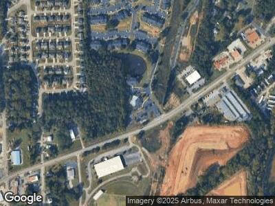
Map
Nearby Homes
- 402 Bridgette Blvd
- 424 Sweetwood Ct
- 417 Sweetwood Ct
- 405 N Sanford Ave
- 405 Sanford Ave
- 101 Amy Ave
- 47 N Cary St
- 45 N Cary St
- 722 Windstream Dr Unit A-12
- 726 Windstream Dr Unit A10
- 720 Windstream Dr Unit A13
- 713 Windstream Dr Unit B-58
- 711 Windstream Dr Unit B-57
- 124 Shenandoah Ln
- 122 Shenandoah Ln
- 122 Shenandoah Ln Unit 64
- 1206 Pool Mill St
- 209 Lenox Cir
- 306 Lenox Cir
- 205 Lenox Cir