27 Independence Dr Methuen, MA 01844
The East End NeighborhoodEstimated Value: $33,383,831
--
Bed
--
Bath
--
Sq Ft
2.23
Acres
About This Home
This home is located at 27 Independence Dr, Methuen, MA 01844 and is currently estimated at $33,383,831. 27 Independence Dr is a home located in Essex County with nearby schools including Timony Grammar School, Methuen High School, and Community Day Charter Public School - Gateway.
Ownership History
Date
Name
Owned For
Owner Type
Purchase Details
Closed on
Sep 1, 2017
Sold by
Colonial Methuen Assoc
Bought by
Methuen Apartments Llc
Current Estimated Value
Home Financials for this Owner
Home Financials are based on the most recent Mortgage that was taken out on this home.
Original Mortgage
$17,475,000
Outstanding Balance
$14,991,570
Interest Rate
3.96%
Mortgage Type
Commercial
Estimated Equity
$18,629,812
Purchase Details
Closed on
Feb 29, 2012
Sold by
Washington Park Est Ll
Bought by
Colonial Methuen Assoc
Purchase Details
Closed on
Mar 14, 2005
Sold by
Colonial Village Inc
Bought by
Washington Park Ests L
Create a Home Valuation Report for This Property
The Home Valuation Report is an in-depth analysis detailing your home's value as well as a comparison with similar homes in the area
Home Values in the Area
Average Home Value in this Area
Purchase History
| Date | Buyer | Sale Price | Title Company |
|---|---|---|---|
| Methuen Apartments Llc | $23,300,000 | -- | |
| Colonial Methuen Assoc | $14,000,000 | -- | |
| Washington Park Ests L | $100,000 | -- |
Source: Public Records
Mortgage History
| Date | Status | Borrower | Loan Amount |
|---|---|---|---|
| Open | Methuen Apartments Llc | $17,475,000 | |
| Previous Owner | Colonial Methuen Assoc | $2,040,000 |
Source: Public Records
Tax History Compared to Growth
Tax History
| Year | Tax Paid | Tax Assessment Tax Assessment Total Assessment is a certain percentage of the fair market value that is determined by local assessors to be the total taxable value of land and additions on the property. | Land | Improvement |
|---|---|---|---|---|
| 2025 | -- | $1,609,800 | $311,400 | $1,298,400 |
| 2024 | -- | $1,536,400 | $284,500 | $1,251,900 |
| 2023 | $0 | $1,411,000 | $253,100 | $1,157,900 |
| 2022 | $0 | $1,188,600 | $211,700 | $976,900 |
| 2021 | $0 | $1,178,300 | $201,400 | $976,900 |
| 2020 | $0 | $1,178,300 | $201,400 | $976,900 |
| 2019 | $0 | $1,126,400 | $180,700 | $945,700 |
| 2018 | $0 | $988,700 | $180,700 | $808,000 |
| 2017 | $0 | $988,700 | $180,700 | $808,000 |
| 2016 | -- | $978,300 | $170,300 | $808,000 |
| 2015 | -- | $886,300 | $170,300 | $716,000 |
Source: Public Records
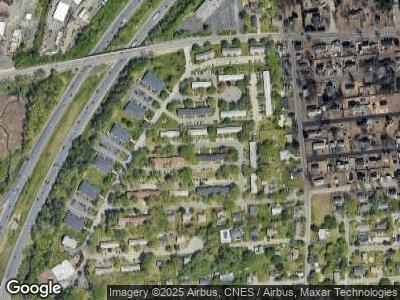
Map
Nearby Homes
- 18 Constitution Way Unit A
- 61 Constitution Way Unit 61
- 83 Chippy Ln
- 128 Pleasant Valley St
- 396 Oak St
- 36 Booth Rd
- 18 Derry Rd
- 5 Thornton Ave
- 19 Oakmeadow Ln
- 5 Apple Crest Dr
- 6 Douglas Ave
- 38 Christopher Dr Unit 71
- 45 Christopher Dr Unit 210
- 22 Clementi Ln
- 11 Delmont St
- 38 Magna Rd
- 29 Oak St
- 14 Ayer St
- 64 Merrimack Rd
- 34 Ridge Rd