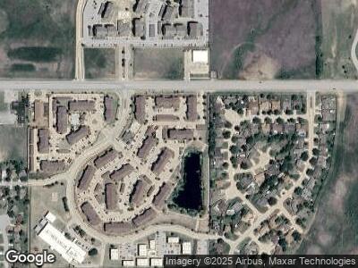
3501 E Gore Blvd Lawton, OK 73501
Estimated Value: $29,729,365
--
Bed
--
Bath
13,400
Sq Ft
$2,219/Sq Ft
Est. Value
About This Home
This home is located at 3501 E Gore Blvd, Lawton, OK 73501 and is currently estimated at $29,729,365, approximately $2,218 per square foot. 3501 E Gore Blvd is a home located in Comanche County with nearby schools including Carriage Hills Elementary School, MacArthur Middle School, and MacArthur High School.
Ownership History
Date
Name
Owned For
Owner Type
Purchase Details
Closed on
Sep 21, 2023
Sold by
Lawton Mf I Real Property Llc
Bought by
3501 Gore Blvd Llc
Current Estimated Value
Home Financials for this Owner
Home Financials are based on the most recent Mortgage that was taken out on this home.
Original Mortgage
$21,420,300
Outstanding Balance
$20,750,691
Interest Rate
2.7%
Mortgage Type
FHA
Estimated Equity
$8,621,419
Purchase Details
Closed on
Jun 23, 2009
Sold by
Diversified Holding Inc
Bought by
Cornerstone Lawton Llc
Create a Home Valuation Report for This Property
The Home Valuation Report is an in-depth analysis detailing your home's value as well as a comparison with similar homes in the area
Home Values in the Area
Average Home Value in this Area
Purchase History
| Date | Buyer | Sale Price | Title Company |
|---|---|---|---|
| 3501 Gore Blvd Llc | $29,964,000 | None Listed On Document | |
| Cornerstone Lawton Llc | $1,800,000 | -- |
Source: Public Records
Mortgage History
| Date | Status | Borrower | Loan Amount |
|---|---|---|---|
| Open | 3501 Gore Blvd Llc | $21,420,300 | |
| Closed | Lawton Mf Ii Real Property Llc | $9,276,300 |
Source: Public Records
Tax History Compared to Growth
Tax History
| Year | Tax Paid | Tax Assessment Tax Assessment Total Assessment is a certain percentage of the fair market value that is determined by local assessors to be the total taxable value of land and additions on the property. | Land | Improvement |
|---|---|---|---|---|
| 2024 | $366,342 | $3,385,480 | $202,358 | $3,183,122 |
| 2023 | $296,802 | $2,744,616 | $202,358 | $2,542,258 |
| 2022 | $284,001 | $2,664,675 | $202,358 | $2,462,317 |
| 2021 | $238,772 | $2,332,670 | $202,358 | $2,130,312 |
| 2020 | $230,255 | $2,264,728 | $202,358 | $2,062,370 |
| 2019 | $222,009 | $2,198,765 | $202,358 | $1,996,407 |
| 2018 | $184,056 | $2,134,724 | $202,358 | $1,932,366 |
| 2017 | $164,332 | $2,072,547 | $202,358 | $1,870,189 |
| 2016 | $173,761 | $2,147,313 | $202,358 | $1,944,955 |
| 2015 | $167,641 | $2,147,313 | $202,358 | $1,944,955 |
| 2014 | $218,941 | $2,812,348 | $202,358 | $2,609,990 |
Source: Public Records
Map
Nearby Homes
- 308 SE Camelot Dr
- 311 SE Camelot Dr
- 428 SE Lancelot Ln
- 2912 NE Lakeview Cir
- 3814 SE Dorchester Dr
- 4214 SE Ford Rd
- 4222 SE Ford Rd
- 4211 SE Ford Rd
- 4523 NE Bell Ave
- 4703 SE Trenton Rd
- 2810 NE Euclid Ave
- 4216 SE Dorchester Dr
- 4004 SE Bedford Dr
- 110 NE 48th St
- 4624 SE Brighton Dr
- 803 SE Caber Cir
- 4908 SE Randolph Rd
- 403 SE Sungate Blvd
- 4635 SE Mieling Dr
- 4218 SE Bedford Dr