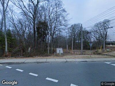
LOT 22 Maxwell Ct Marvin, NC 28173
Estimated Value: $583,000 - $1,830,000
5
Beds
6
Baths
9,340
Sq Ft
$129/Sq Ft
Est. Value
About This Home
This home is located at LOT 22 Maxwell Ct, Marvin, NC 28173 and is currently estimated at $1,206,500, approximately $129 per square foot. LOT 22 Maxwell Ct is a home located in Union County with nearby schools including Marvin Elementary School, Marvin Ridge Middle School, and Marvin Ridge High School.
Ownership History
Date
Name
Owned For
Owner Type
Purchase Details
Closed on
Sep 6, 2023
Sold by
Estates At Marvin Acres Llc
Bought by
Tarul & Yomesh Deliwala Living Trust
Current Estimated Value
Purchase Details
Closed on
Nov 28, 2022
Sold by
John R Brantley Jr Trust
Bought by
Marvin Acres Llc
Purchase Details
Closed on
Jun 3, 2003
Sold by
J R & Daphne Brantley Lp
Bought by
Crane Frank J and Crane Ashley B
Purchase Details
Closed on
Feb 28, 2002
Sold by
Williams Kathy S and Williams Charles E
Bought by
Lyles William R and Lyles Bobbie S
Purchase Details
Closed on
Jan 9, 2002
Sold by
J R & Daphne Brantley Ltd Partnership
Bought by
Williams Charles and Williams Kathy
Create a Home Valuation Report for This Property
The Home Valuation Report is an in-depth analysis detailing your home's value as well as a comparison with similar homes in the area
Home Values in the Area
Average Home Value in this Area
Purchase History
| Date | Buyer | Sale Price | Title Company |
|---|---|---|---|
| Tarul & Yomesh Deliwala Living Trust | -- | None Listed On Document | |
| Hb Investments Llc | -- | None Listed On Document | |
| Marvin Acres Llc | $3,000,000 | -- | |
| John R Brantley Jr Trust | -- | -- | |
| Crane Frank J | -- | -- | |
| Lyles William R | $90,000 | -- | |
| Williams Charles | -- | -- |
Source: Public Records
Tax History Compared to Growth
Tax History
| Year | Tax Paid | Tax Assessment Tax Assessment Total Assessment is a certain percentage of the fair market value that is determined by local assessors to be the total taxable value of land and additions on the property. | Land | Improvement |
|---|---|---|---|---|
| 2024 | $5,570 | $0 | $0 | $0 |
| 2023 | $7,870 | $1,148,100 | $1,139,100 | $9,000 |
| 2022 | $7,571 | $1,104,500 | $1,095,500 | $9,000 |
| 2021 | $7,556 | $1,104,500 | $1,095,500 | $9,000 |
| 2020 | $9,095 | $1,180,980 | $1,176,780 | $4,200 |
| 2019 | $9,050 | $1,180,980 | $1,176,780 | $4,200 |
| 2018 | $9,050 | $1,180,980 | $1,176,780 | $4,200 |
| 2017 | $9,570 | $1,181,000 | $1,176,800 | $4,200 |
| 2016 | $9,989 | $1,180,980 | $1,176,780 | $4,200 |
| 2015 | $9,504 | $1,180,980 | $1,176,780 | $4,200 |
| 2014 | $14,971 | $2,179,190 | $2,175,600 | $3,590 |
Source: Public Records
Map
Nearby Homes
- 1041 Maxwell Ct Unit 9
- 1048 Maxwell Ct Unit 17
- LOT 5 Maxwell Ct
- LOT 12 Maxwell Ct
- LOT 16 Maxwell Ct
- LOT 15 Maxwell Ct
- LOT 14 Maxwell Ct
- 1057 Maxwell Ct Unit 13
- 1025 Maxwell Ct Unit 7
- LOT 13 Maxwell Ct
- LOT 18 Maxwell Ct
- LOT 1 Maxwell Ct
- LOT 2 Maxwell Ct
- 9803 Tree Canopy Rd
- 9703 Cotton Stand Rd
- 516 White Tail Terrace
- 9636 Cotton Stand Rd
- 3012 Wheatfield Dr
- 9809 Saddle Ave
- 1005 Seminole Dr
