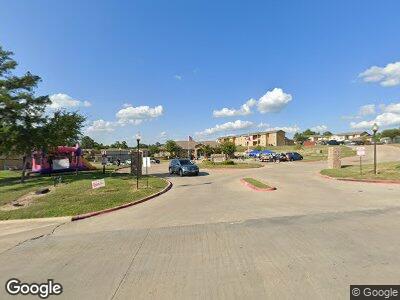
145 Essex Blvd Huntsville, TX 77320
3
Beds
--
Bath
1,291
Sq Ft
19
Acres
About This Home
This home is located at 145 Essex Blvd, Huntsville, TX 77320. 145 Essex Blvd is a home located in Walker County with nearby schools including Huntsville Elementary School, Huntsville Intermediate School, and Mance Park Middle School.
Ownership History
Date
Name
Owned For
Owner Type
Purchase Details
Closed on
Dec 6, 2004
Sold by
Crimson Properties Ltd
Bought by
Essex Villages Lp
Home Financials for this Owner
Home Financials are based on the most recent Mortgage that was taken out on this home.
Original Mortgage
$128,000
Interest Rate
5.68%
Mortgage Type
Purchase Money Mortgage
Create a Home Valuation Report for This Property
The Home Valuation Report is an in-depth analysis detailing your home's value as well as a comparison with similar homes in the area
Home Values in the Area
Average Home Value in this Area
Purchase History
| Date | Buyer | Sale Price | Title Company |
|---|---|---|---|
| Essex Villages Lp | $128,000 | -- |
Source: Public Records
Mortgage History
| Date | Status | Borrower | Loan Amount |
|---|---|---|---|
| Open | Essex Villages Lp | $2,870,000 | |
| Previous Owner | Essex Villages Lp | $128,000 |
Source: Public Records
Property History
| Date | Event | Price | Change | Sq Ft Price |
|---|---|---|---|---|
| 07/16/2024 07/16/24 | Price Changed | $911 | +19.4% | $1 / Sq Ft |
| 01/19/2024 01/19/24 | For Rent | $763 | -- | -- |
Tax History Compared to Growth
Tax History
| Year | Tax Paid | Tax Assessment Tax Assessment Total Assessment is a certain percentage of the fair market value that is determined by local assessors to be the total taxable value of land and additions on the property. | Land | Improvement |
|---|---|---|---|---|
| 2023 | $56,151 | $3,848,536 | $405,710 | $3,442,826 |
| 2022 | $67,495 | $3,577,200 | $405,710 | $3,171,490 |
| 2021 | $75,657 | $3,903,050 | $405,710 | $3,497,340 |
| 2020 | $61,055 | $3,006,470 | $405,710 | $2,600,760 |
| 2019 | $65,700 | $3,006,470 | $405,710 | $2,600,760 |
| 2018 | $63,142 | $2,541,960 | $405,710 | $2,136,250 |
| 2017 | $52,462 | $2,269,890 | $186,270 | $2,083,620 |
| 2016 | $48,444 | $2,096,050 | $186,270 | $1,909,780 |
| 2015 | -- | $2,096,050 | $186,270 | $1,909,780 |
| 2014 | -- | $2,096,050 | $186,270 | $1,909,780 |
Source: Public Records
Map
Nearby Homes
- 10 Fm 247 Rd
- 100 Ross St Unit B
- 000 Avenue F
- 634 Avenue H
- 107 Bernice Dr
- 105 Bernice Dr
- 117 Bernice Dr
- 910 Avenue J
- 909 Avenue I
- 918 Martin Luther King Dr
- 08 Farm To Market Road 247
- 07 Farm To Market Road 247
- 920 Martin Luther King Dr
- 928 University Ave
- 901 Avenue C
- 719 Avenue G
- 0 Queen Anne Way Unit 4759780
- TBD Henry Stuart Ct
- 306 Tony Place
- 0473 Fm 3478