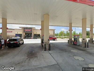
3010 NE Pine Island Rd Cape Coral, FL 33909
3
Beds
13
Baths
1,251
Sq Ft
3.11
Acres
About This Home
This home is located at 3010 NE Pine Island Rd, Cape Coral, FL 33909. 3010 NE Pine Island Rd is a home located in Lee County with nearby schools including J. Colin English Elementary School, Dr. Carrie D. Robinson Littleton Elementary School, and Tropic Isles Elementary School.
Ownership History
Date
Name
Owned For
Owner Type
Purchase Details
Closed on
Aug 6, 2013
Sold by
Realmark Judd Creek Llc
Bought by
Racetrac Petroleum Inc
Create a Home Valuation Report for This Property
The Home Valuation Report is an in-depth analysis detailing your home's value as well as a comparison with similar homes in the area
Home Values in the Area
Average Home Value in this Area
Purchase History
| Date | Buyer | Sale Price | Title Company |
|---|---|---|---|
| Racetrac Petroleum Inc | $1,000,000 | First American Title Ins Co |
Source: Public Records
Mortgage History
| Date | Status | Borrower | Loan Amount |
|---|---|---|---|
| Open | Racetrac Petroleum Inc | $492,370,000 |
Source: Public Records
Property History
| Date | Event | Price | Change | Sq Ft Price |
|---|---|---|---|---|
| 03/30/2024 03/30/24 | Price Changed | $1,685 | -0.5% | $2 / Sq Ft |
| 03/28/2024 03/28/24 | Price Changed | $1,694 | -5.1% | $2 / Sq Ft |
| 12/07/2023 12/07/23 | Price Changed | $1,785 | -6.1% | $2 / Sq Ft |
| 08/08/2023 08/08/23 | For Rent | $1,900 | 0.0% | -- |
| 06/24/2023 06/24/23 | Price Changed | $1,900 | 0.0% | $3 / Sq Ft |
| 06/24/2023 06/24/23 | For Rent | -- | -- | -- |
| 06/19/2023 06/19/23 | For Rent | $1,900 | 0.0% | -- |
| 05/15/2023 05/15/23 | Price Changed | $1,900 | +12.8% | $3 / Sq Ft |
| 04/24/2023 04/24/23 | For Rent | $1,685 | -- | -- |
Tax History Compared to Growth
Tax History
| Year | Tax Paid | Tax Assessment Tax Assessment Total Assessment is a certain percentage of the fair market value that is determined by local assessors to be the total taxable value of land and additions on the property. | Land | Improvement |
|---|---|---|---|---|
| 2024 | $50,490 | $3,176,027 | -- | -- |
| 2023 | $50,490 | $2,887,297 | $0 | $0 |
| 2022 | $50,813 | $2,513,577 | $1,367,586 | $735,122 |
| 2021 | $41,975 | $2,386,195 | $1,506,473 | $879,722 |
| 2020 | $40,517 | $2,274,142 | $1,146,523 | $1,127,619 |
| 2019 | $42,016 | $2,910,089 | $1,442,176 | $1,467,913 |
| 2018 | $42,430 | $3,132,401 | $1,075,797 | $2,056,604 |
| 2017 | $31,888 | $1,699,501 | $575,754 | $1,123,747 |
| 2016 | $29,536 | $1,551,853 | $763,659 | $788,194 |
| 2015 | $27,227 | $1,348,646 | $560,452 | $788,194 |
Source: Public Records
Map
Nearby Homes
- 90/92 Herron Rd Unit 15
- 14993 N Cleveland Ave
- 14993 N Cleveland Ave Unit 8
- 14710 N Cleveland Ave
- 1762 Woodward Ave
- 454 Ellis St
- 75 Sanders Ct
- 80 Snead Dr
- 551 Sacramento St Unit 8
- 530 San Bernardino St
- 108 Snead Dr
- 343 W Mariana Ave
- 132 Nicklaus Blvd
- 429 Archer Ln
- 556 Clark St
- 370 San Bernardino St
- 91 Snead Dr
- 422 Snead Dr
- 14580 N Cleveland Ave Unit 50
- 459 State St