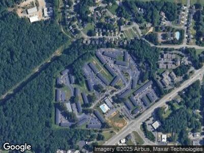
2050 Austell Rd SW Marietta, GA 30008
Estimated Value: $54,064,338
--
Bed
--
Bath
285,190
Sq Ft
$190/Sq Ft
Est. Value
About This Home
This home is located at 2050 Austell Rd SW, Marietta, GA 30008 and is currently estimated at $54,064,338, approximately $189 per square foot. 2050 Austell Rd SW is a home located in Cobb County with nearby schools including Milford Elementary School, Smitha Middle School, and Osborne High School.
Create a Home Valuation Report for This Property
The Home Valuation Report is an in-depth analysis detailing your home's value as well as a comparison with similar homes in the area
Home Values in the Area
Average Home Value in this Area
Purchase History
| Date | Buyer | Sale Price | Title Company |
|---|---|---|---|
| Amber Grove Owner Llc | $51,000,000 | Fidelity National Title | |
| Crescent Square Apartments Llc | $27,500,000 | -- | |
| Related Crescent Llc | $2,675,000 | -- | |
| Cam Crescent Llc | -- | -- | |
| Federal National Mortgage Association | -- | -- | |
| Alliance Gd Cc 2 Limited Partner | $2,040,700 | -- |
Source: Public Records
Mortgage History
| Date | Status | Borrower | Loan Amount |
|---|---|---|---|
| Open | Amber Grove Owner Llc | $36,717,000 | |
| Previous Owner | Federal National Mortgage Association | $19,600,000 |
Source: Public Records
Tax History Compared to Growth
Tax History
| Year | Tax Paid | Tax Assessment Tax Assessment Total Assessment is a certain percentage of the fair market value that is determined by local assessors to be the total taxable value of land and additions on the property. | Land | Improvement |
|---|---|---|---|---|
| 2024 | $284,916 | $16,758,680 | $2,279,164 | $14,479,516 |
| 2023 | $284,916 | $9,449,936 | $2,103,844 | $7,346,092 |
| 2022 | $286,806 | $9,449,936 | $2,103,844 | $7,346,092 |
| 2021 | $338,112 | $11,140,440 | $2,103,844 | $9,036,596 |
| 2020 | $222,162 | $7,320,000 | $2,103,844 | $5,216,156 |
| 2019 | $222,162 | $7,320,000 | $2,103,844 | $5,216,156 |
| 2018 | $272,836 | $7,320,000 | $2,103,844 | $5,216,156 |
| 2017 | $108,582 | $3,776,752 | $2,103,844 | $1,672,908 |
| 2016 | $46,978 | $1,634,000 | $1,332,328 | $301,672 |
| 2015 | $50,671 | $1,634,000 | $1,332,328 | $301,672 |
Source: Public Records
Map
Nearby Homes
- 484 Lorene Dr SW
- 717 Chamberlain Cir SW
- 2154 Windstream Way SW
- 1884 Martin Rd SW
- 725 S Fork Dr SW
- 401 Windstream Dr SW
- 2015 Ridgestone Landing SW
- 1698 Cunningham Rd SW
- 1615 Arden Dr SW
- 331 Zelma St SW
- 1651 Massachusetts Ave SW Unit 9
- 1651 Massachusetts Ave SW Unit 20
- 399 Patricia Ave SW
- 338 Patricia Ave SW
- 1590 Arden Dr SW
- 343 Patricia Ave SW
- 278 Privette Rd SW